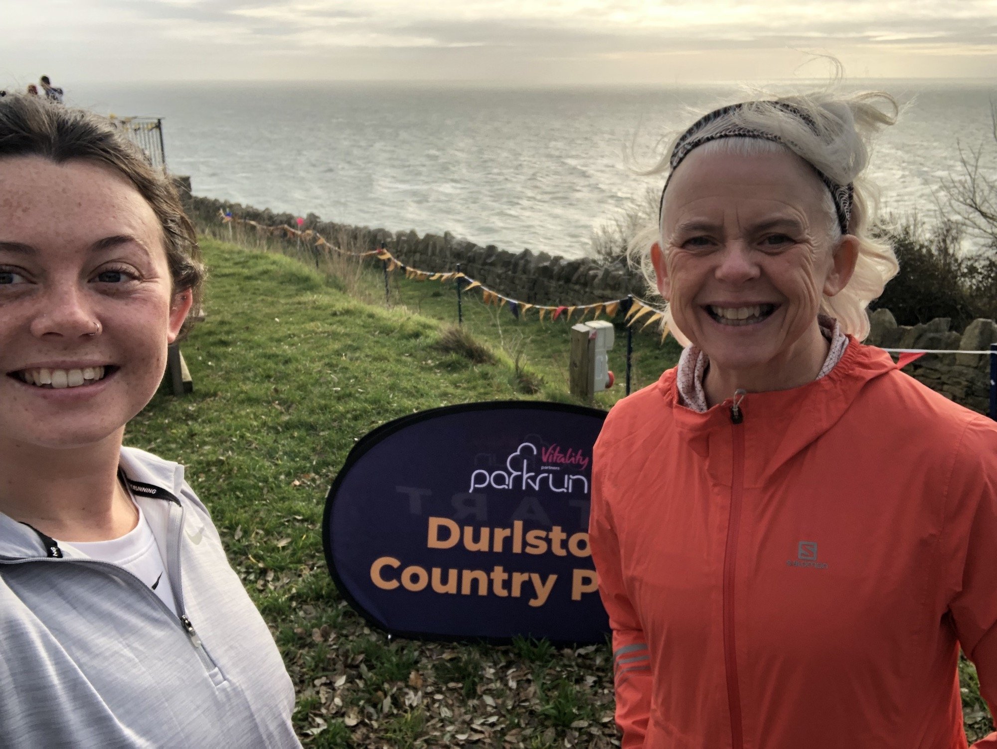
The Parkrun - Durlston Country Park, Swanage

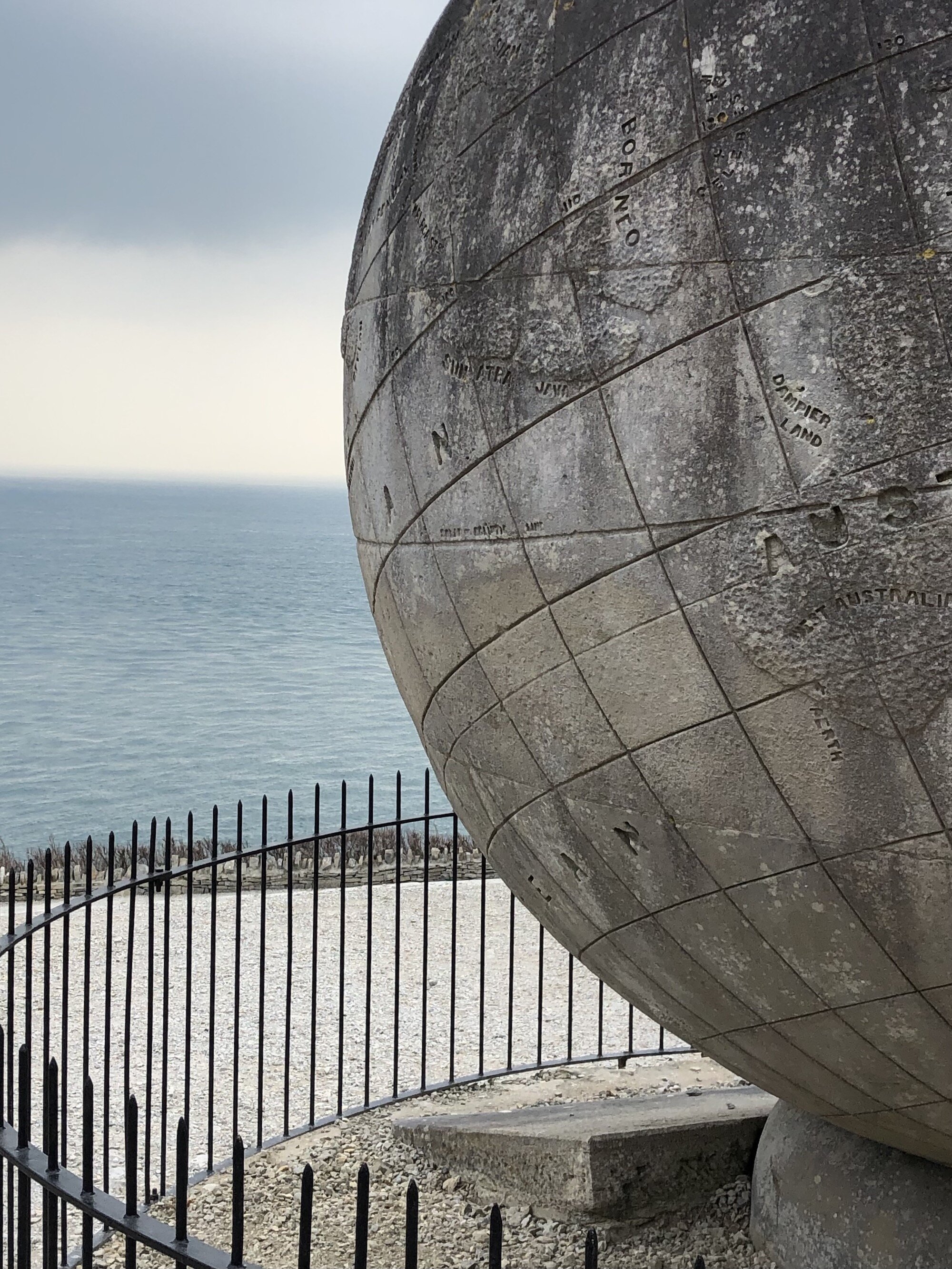
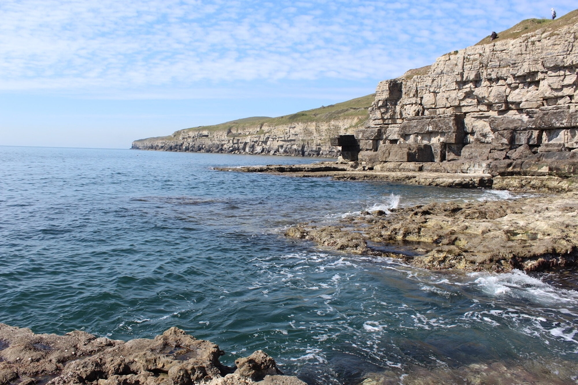
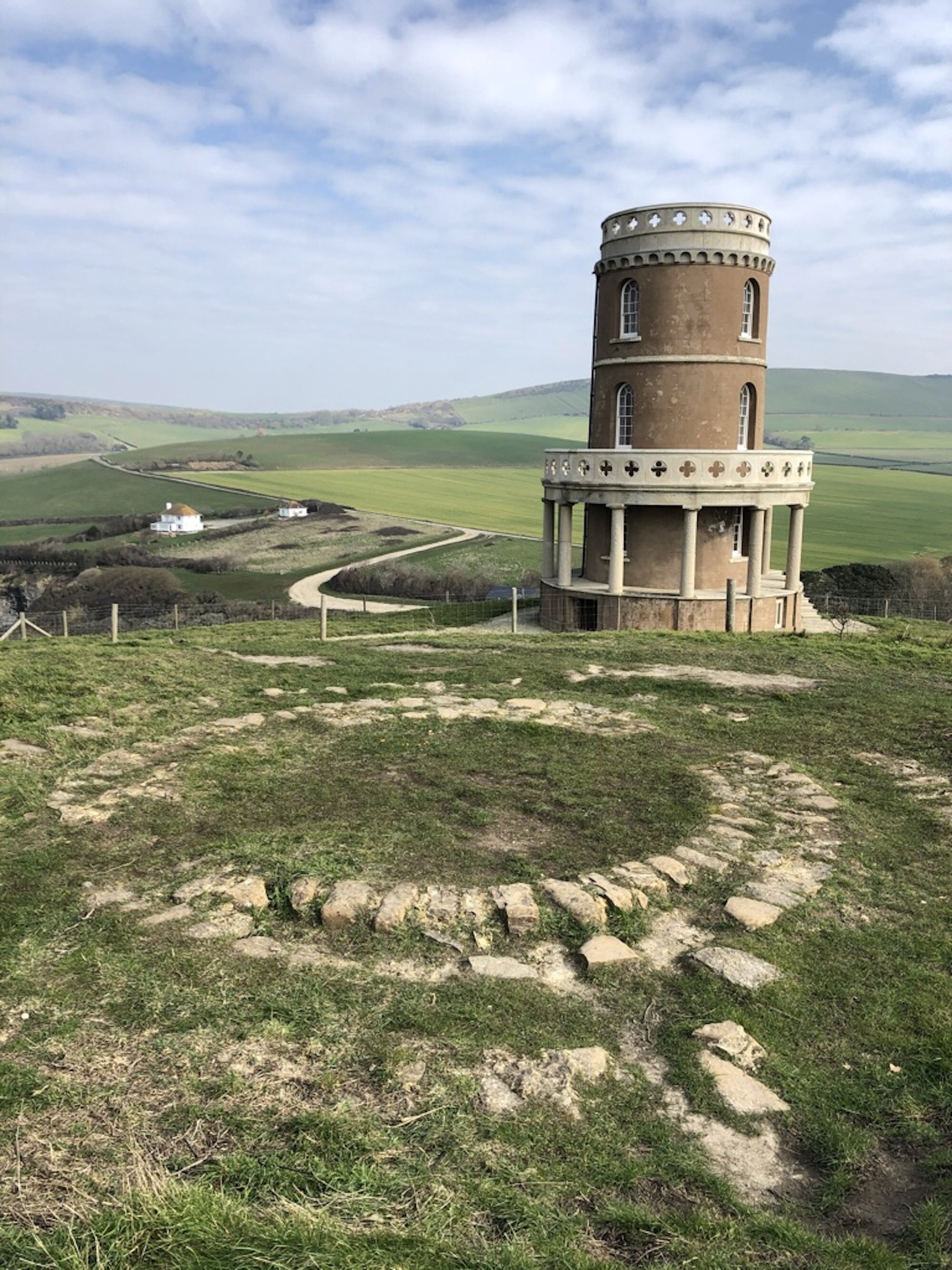
The Durlston Country Park Parkrun is the hilliest in the country, but the clifftop route is also the most scenic. Supported by an enthusiastic team of volunteers the Parkrun in Swanage has just celebrated its first birthday. The route starts at Durlston Castle, and follows a double loop, first heading right out towards the lighthouse, and second, left towards the giant stone globe. Second, runners head ‘out and back’ towards Swanage before doing the double loop again. The familiar chant during the pre-run briefing goes ‘right, left, out and back, right, left, finish!”

Having run the course several times now my technique is to run downhill and walk uphill, if you’re wondering what I do on the flat sections, think no more as there is only 10m - but I do attempt to run it! So far my method has enabled me to improve my time from 38mins to around 35mins, but it amazes me that some runners complete the course in around 22 mins!
Despite the challenging course a good number of runners/walkers of all ages and abilities turn up at 9am each Saturday to enjoy the event, everyone is really friendly and welcoming and there is always a volunteer to bring up the rear to encourage those who want to walk the whole route. There are stewards on the course who cheer everyone on, which makes all the difference as I struggle up the hills.

If you’re keen to start Parkrunning head to the official Parkrun website and sign up for your barcode. When you’ve completed the course you can scan your code and you’ll be sent your results the same day. It’s fun to build up the number of runs you complete and try and improve your personal best. I’m so impressed by runners and volunteers who have the 25, 50 and 100 T shirts, acknowledging how many Parkruns they have attended.
Each week there is a board to sign if you have come from another part of the country and it’s always interesting to see how far people have come to run!


 5 km
5 km
 varies
 251 ft
 trails and Paths
 Yes - woof!
OS Grid Ref: SZ 03477 77253
Latitude: 50° 35' 41" N
Longitude: 1° 57' 08.0" W
Elevation: 647ft