
Swanage to Old Harry Rocks

Old Harry Rocks at Handfast Point are the Isle of Purbeck’s iconic and symbolic gateway to the Jurassic Coast. This Jurassic Coast walk, from Swanage to Old Harry Rocks, includes geological and geographical landmarks that are common on this coastline. However, Old Harry Rocks are arguably the most recognisable feature, perhaps only rivalled by Durdle Door, further west. Harry and the collection of sea stacks and stumps that make up this rock collection are best admired from the clifftop, either walking from Studland village or, as in the case of this walk, across Ballard Down from Swanage.
Although challenging in places the walk is mostly a leisurely stroll across the top of Ballard Down, with panoramic views to Poole Harbour and Swanage Bay.


Old Harry Rocks walk
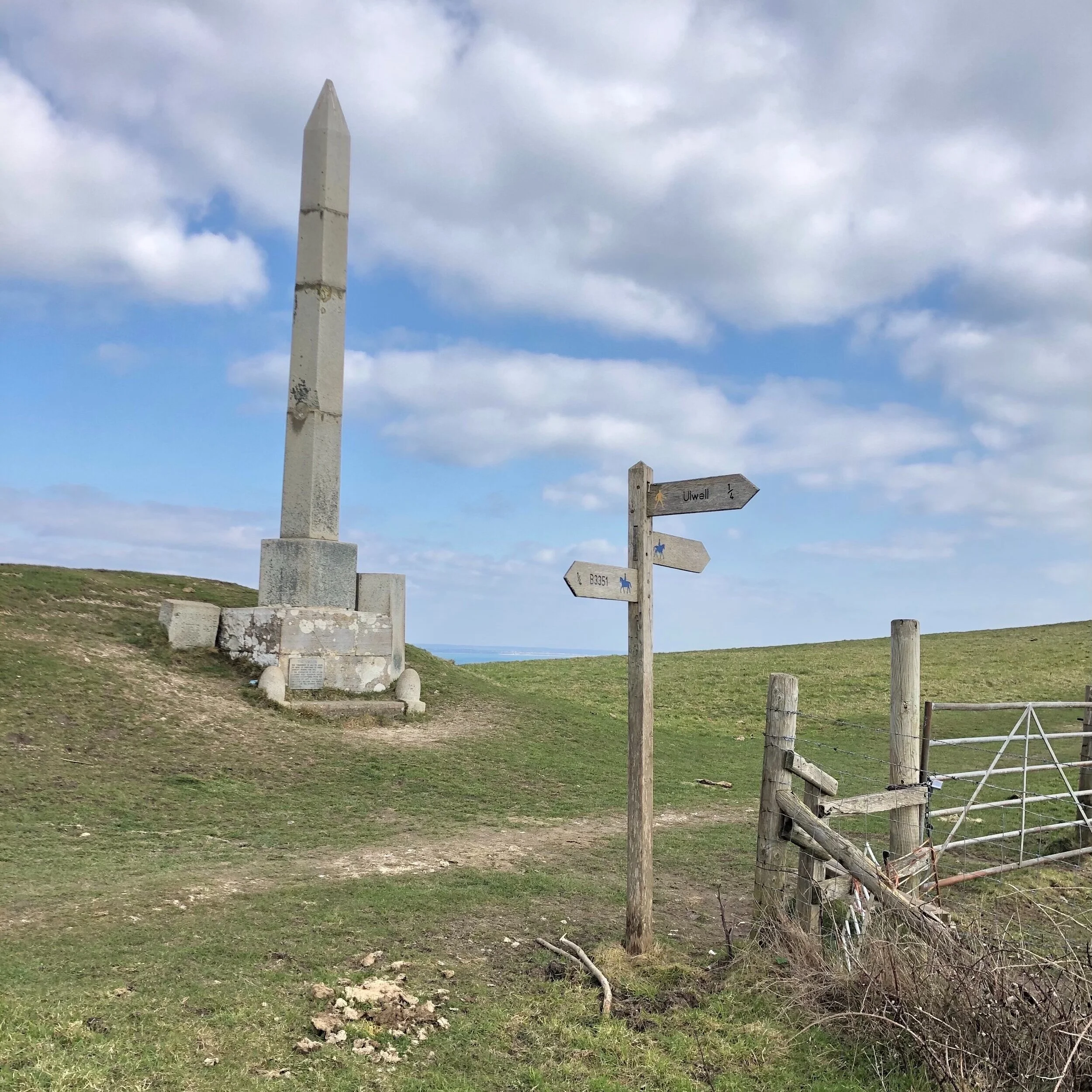
Start the walk at the lay-by at Ulwell and head for the path that leads up to the obelisk. This is the most challenging part of the walk as the steps are steep and there are a lot of them! Taking a rest on the way up will provide an opportunity to look back at Swanage Bay and catch a glimpse of the views that are to come, once you arrive at the top. The obelisk itself was erected in 1883 to commemorate a new drinking water supply for Swanage. Interestingly, it was taken down in 1941, during World War 2, for fear that it might provide a useful landmark for enemy aircraft. Fortunately it was put back into place in 1952 and acts as a striking landmark for walkers and cyclists as well as a great place to stop and pause for breath whilst enjoying the views.


From the obelisk it’s a wonderful stroll across the top of Ballard Down, a great vantage point for panoramic views of Poole Harbour, Brownsea Island and Studland to your left, and Swanage Bay and the town to your right. The huge expanse of ocean is spectacular from Ballard Down, and the Isle of Wight should make an appearance ahead. Bearing left you will soon glimpse the first sea stacks and Old Harry Rocks, where you can sit and pause, admiring not only the geology but the vast expanse of Studland Bay, which will now be visible.

Once you’ve enjoyed Old Harry for long enough, head along the path towards Studland. This is usually a busy route but the village brings the convenience of public toilets, a pub and you can even spend some time on the beach - South Beach is the easiest detour, where there is a little beach cafe, Joe’s Cafe. Continuing on the walk, bear slightly left from the public toilets and head up the hill to the memorial cross and signs on the right to the church (also worth a detour to this Norman place of worship). Turn left at the cross and walk through Manor Farm up a single lane road leading up to the Glebe housing estate. It’s a long uphill stretch but when you reach the gate at the top of the Glebe, you haven’t got far to go to be back on top of Ballard Down. Go through the gate and follow the track up to a stone seat.


You’ll cross over the path you started the walk on and follow the route down towards Swanage. The path is steep and rocky so take care, maybe enjoy resting at one of the seats and enjoy the view over to the bay. Close to the base of the hill turn right towards Ulwell and enjoy the under-hill path back to the lay-by.
I hadn’t walked this route for years and revisiting it recently brought back happy memories of walking Shadow here when he was a puppy. My other memory is of being heavily pregnant with my eldest daughter and thinking that a vigorous walk to the top of Ballard Down might just encourage her to arrive in August 1996 - needless to say she was 10 days late. I don’t think I have walked that route up from the Glebe since then, 25 years ago! Hope you enjoy the challenge of the hills and the glorious views at the top, whatever your reason for getting up and outside!


 5.7 miles
 2hrs 40mins
 919 ft
 Fields, path and road
 Yes - woof!
OS Grid Ref: SZ 021 809
Latitude: 50° 37' 41" N
Longitude: 1° 58' 15" W
Elevation: 529ft