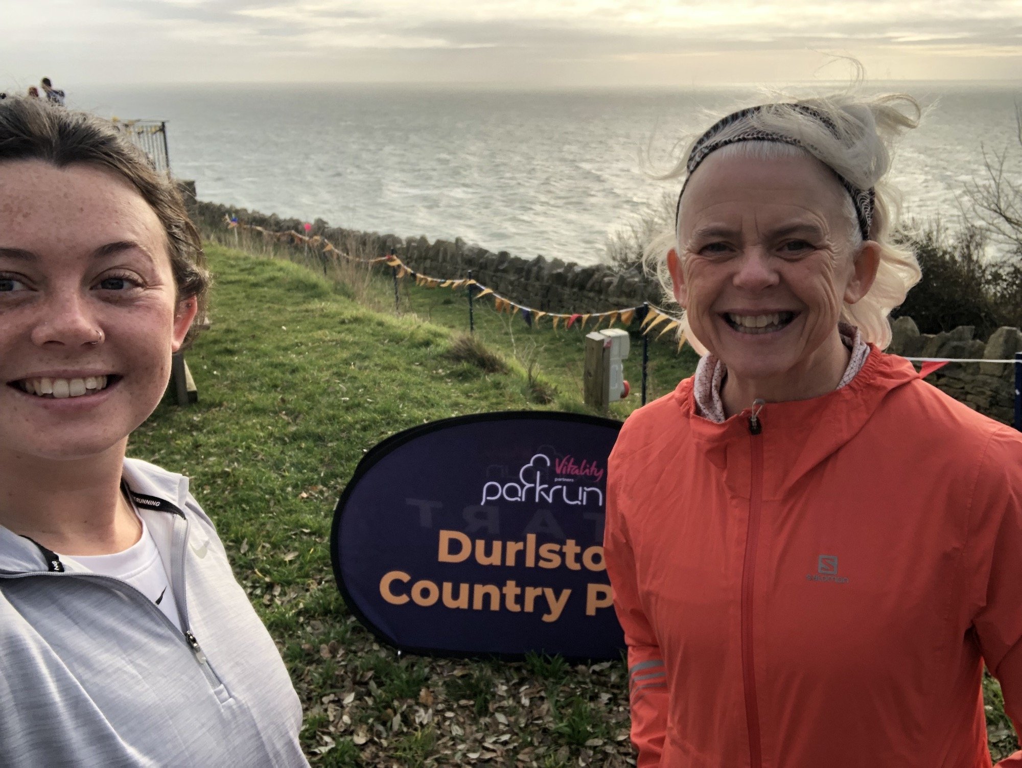
Nine Barrow Down Walk from Swanage
Nine Barrow Down is my favourite place to walk, inland on the Jurassic Coast. Named after the Bronze Age and Neolithic burial mounds lying across the top of the ridge, from the top you can see the sea on three sides; Poole Harbour to the north, Swanage Bay to the east and the headlands that mark out the coves and bays from Durlston Head to Worbarrow and Flower Barrow to the south. You can walk a variety of routes on Nine Barrow and see it anew each time. I call this route, The Path Less Travelled, because for years I followed the tracks across the top, without exploring the underhill paths. It is tempting to always head for the views, but once you discover the more hidden underhill tracks and trails, you can enjoy the abundance of hedgerow and wildlife that don’t emerge on the top of the hill.

Many of the walking routes across Nine Barrow start at Ulwell, situated on the outskirts of Swanage, on the northern side of town. You can travel here by bus from Swanage or from the Studland direction, travelling from central Bournemouth and across the Sandbanks-Studland chain ferry. The No. 50 stop is perfectly located at the base of Nine Barrow Down and a public footpath sign marks the direction to take, on the opposite side of the road, through the metal gate and uphill following the chalk path ahead. If driving, you can park at the large lay-by on the left-hand side of the road as you enter Swanage, then pick up the signed footpath in the top right corner of the lay-by. Wherever you start to walk you will follow your chosen path up the hill, where the routes merge onto the chalky path that heads up onto Nine Barrow. The track is quite rocky underfoot, with loose stones that can be slippy especially when wet - so take care!


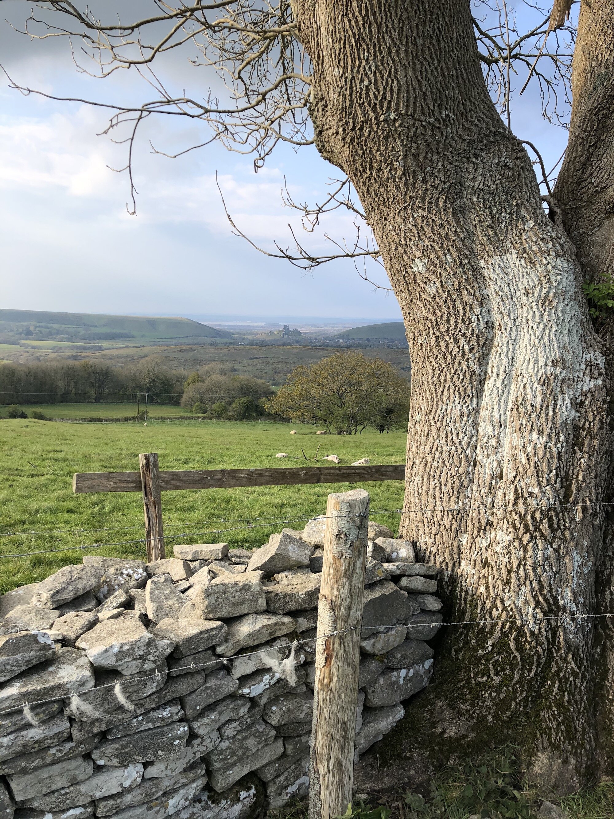
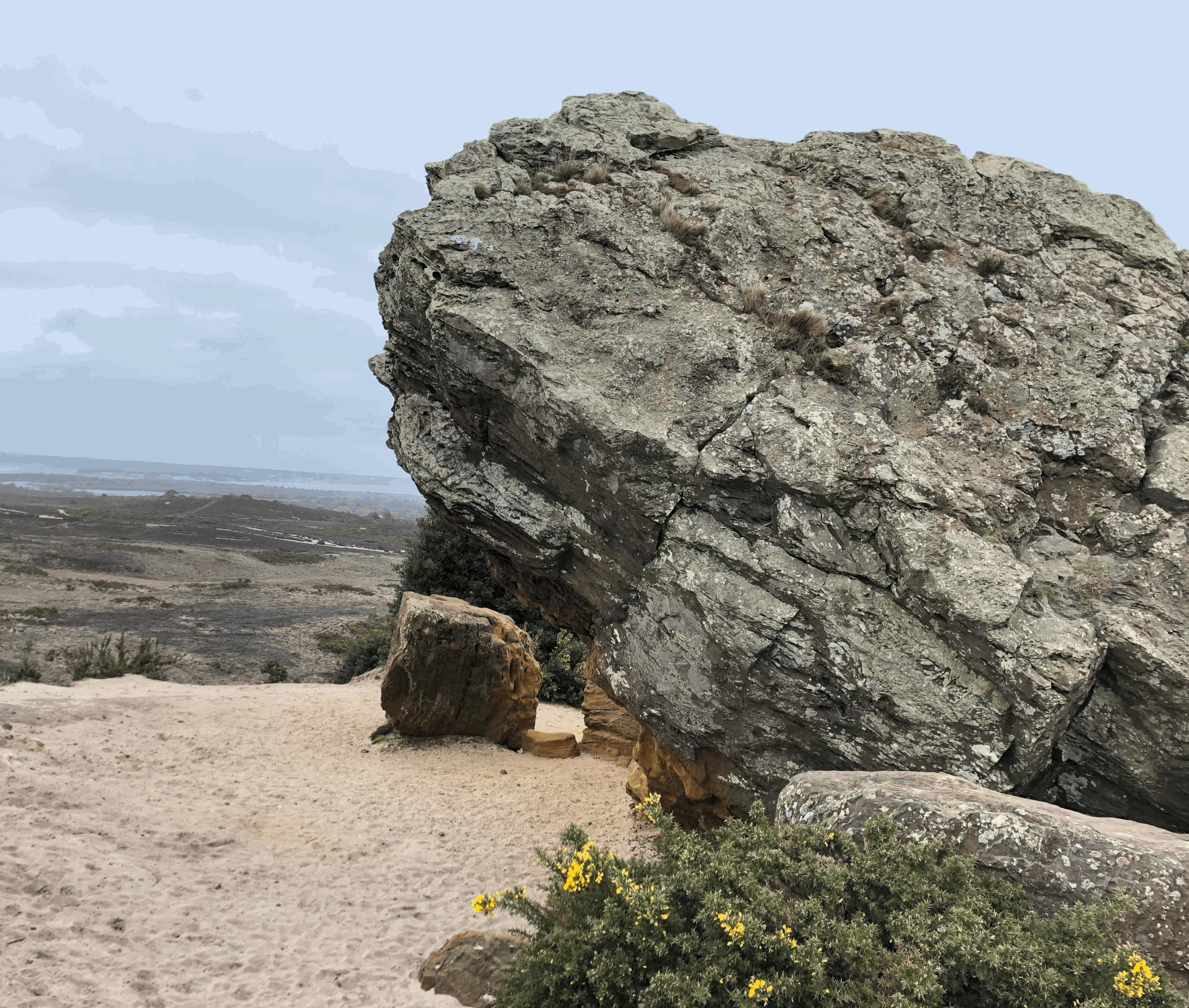
The route is uphill for approximately ¾ of a mile, but there are two benches on the way up where you can sit, rest and enjoy the views over Swanage Bay, before heading through a metal gate and bearing right, continuing up the hill, rather than heading down the chalk path, which zigzags down to the underhill path. As you continue uphill the path begins to level out, and you can enjoy the views of Knitson farm to the south. The hill is classified as a ‘marilyn’ as it has a height of 200m prominence, although the highest point on Nine Barrow, to the northside of the field as you reach the top of the footpath, is not accessible to the public. You will however spot some concrete debris on your left, the remnants of an old trig point, I believe.


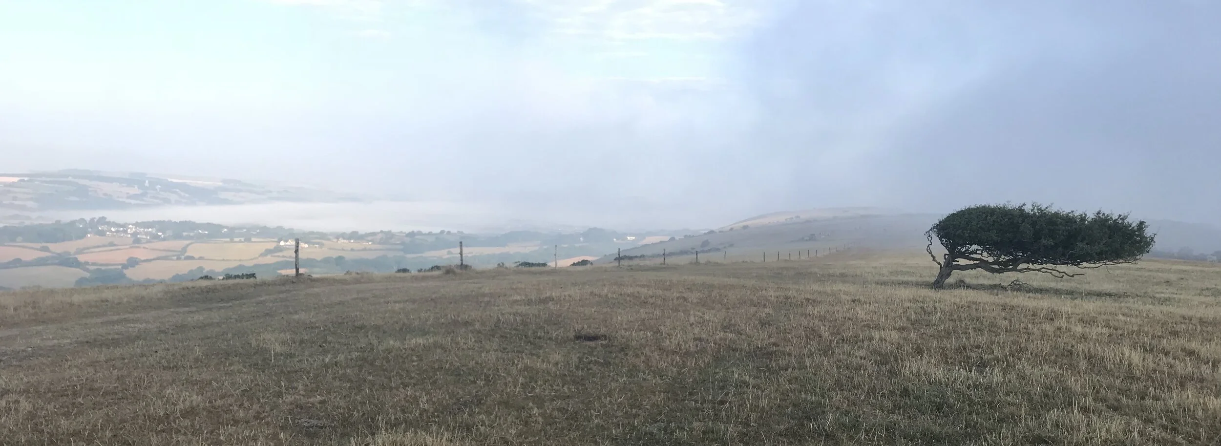
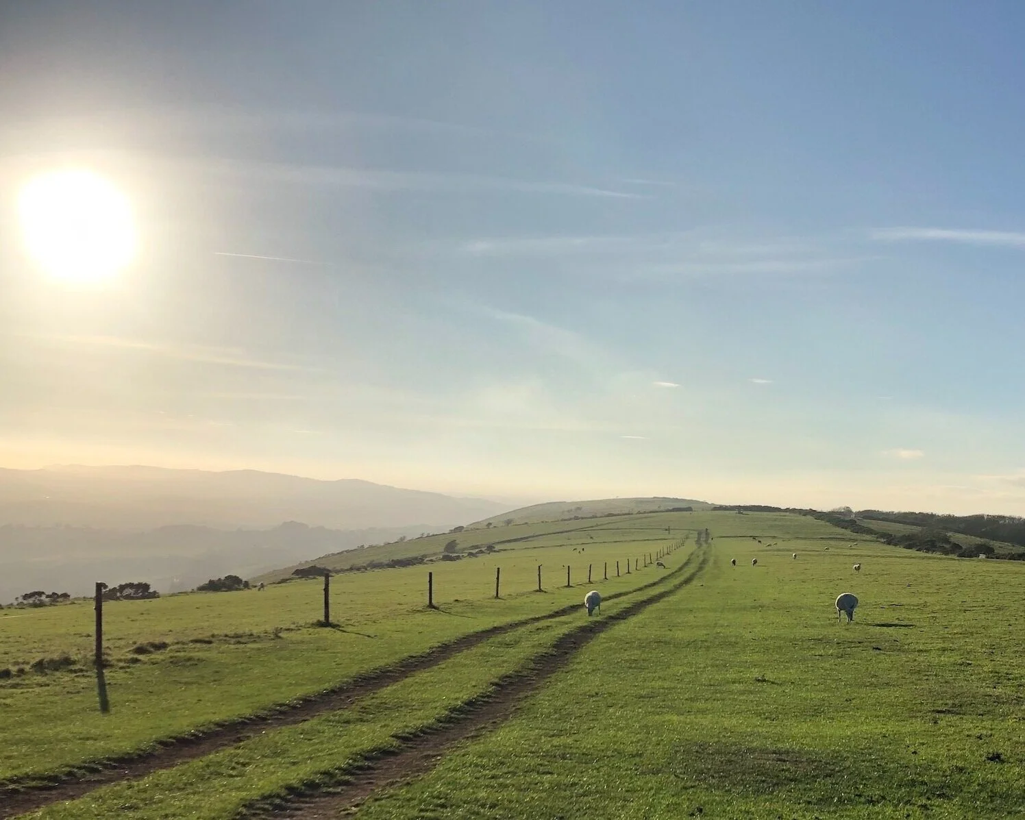
Enjoy the relief of walking along the top of the ridge, along the path flanked by wire fences on either side, until you reach a metal gate, which opens onto the top of the Down, with the occasional windswept tree and usually some grazing cattle or sheep. If you take a minor detour to your right, you will be able to see right across to Studland Bay, Poole Harbour Bournemouth and the Isle of Wight in the distance. On the southside of the path are expansive views of the farmland and small settlements at Knitson and Knaveswell farms - just two of the multiple farms in this small part of Purbeck.

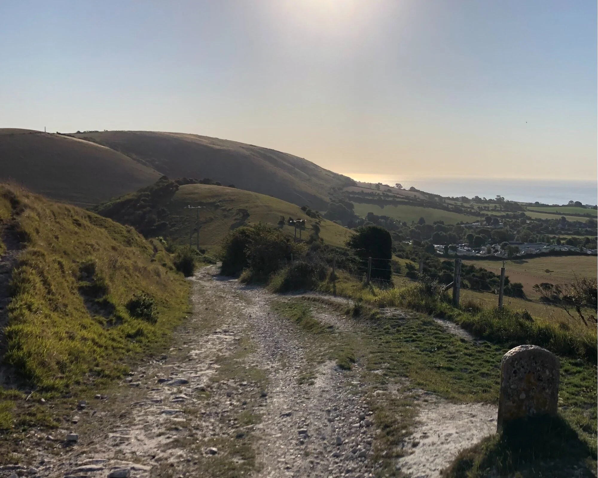
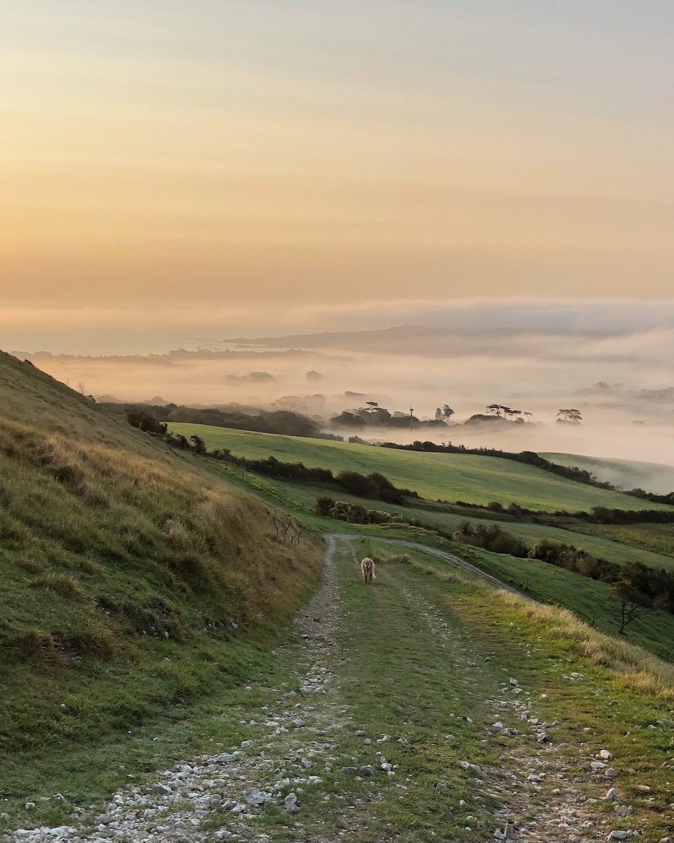
Taking the path straight along the ridge, following the Purbeck Way, head through another gate, where you will see a milestone and National Trust sign for Ailwood Down. From here you follow the ridge for just under a mile, passing the Bronze Age barrow cemetry which the hill is named after, although there are apparently more than nine. Amongst the Bronze Age barrows there is evidence of an even earlier Neolithic long barrow burial site. Follow the path downhill, through another double wooden gate and along an open field, again you can enjoy the ease of walking on the flat stretch of footpath and enjoy the views across the valley to the southern Purbeck coast. 2.5 miles along the route you reach a wooden signpost, and you might be tempted to carry straight on towards Corfe Castle, but save that for another day and instead take a sharp left down a chalky path, in an easterly direction back towards Swanage. This is the ‘Path Less Travelled’ and one of my favourite sections of footpath on Purbeck, especially early in the morning as the sun rises over Swanage Bay, which you can see in the distance.
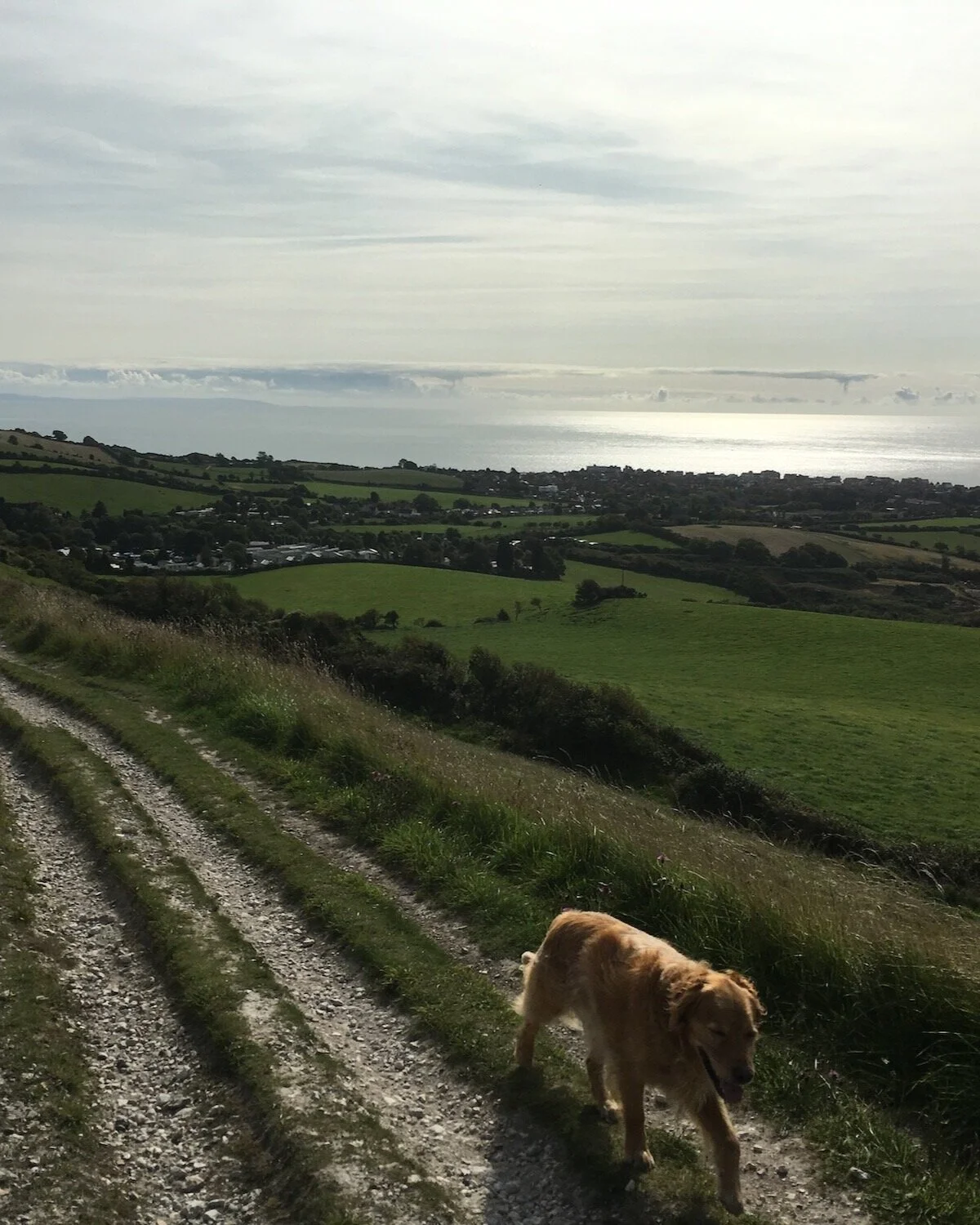

You are now on the underhill path, which will lead you back to Ulwell, passing the farms that you could see from the top of the ridge: Ailwood, Knaveswell and Knitson. Another farm on this patch is Ricketts Farm, where an old barn was apparently once used as a Quaker meeting house. When the path is muddy it might be best to take a right turn down to the underhill lane, and walk along this relatively quiet road, rather than tackle the muddy path, especially the section at Knaveswell, where there is a natural stream traversing the footpath, which is muddily impassible when it has rained (and almost when it hasn’t!). However, walking the underhill path is beautiful, especially in the spring and summer when there is an abundance of wildlife and wildflowers. In the autumn there are blackberries and sloes, which can be collected for jam and gin treats to enjoy through the winter.
Eventually the path merges with the one you started on, and you can sit on the wooden bench, enjoying the view of Swanage Bay, before setting off for home.


 5.6 miles
 2 hours 10 mins
 803 ft
 Fields and Paths
 Yes - woof!
OS Grid Ref: SZ 020 809
Latitude: 50° 37' 42" N
Longitude: 1° 58' 20" W
Elevation: 159ft