My Isle of Purbeck - A guest walk to Seacombe and Winspit

From Scratch Arse to Dancing Ledge.
Ben Rochelle reflects on walks with his intrepid family…

I grew up living in the grounds of an outdoor activity centre, half a mile from the sea, in Swanage, on Dorset’s Jurassic Coast. As a family we walked what seemed like every acre of the Purbeck countryside. Rambles on Ballard Down and Knowle Hill, along the cliffs at Saint Aldhelm’s Head and Houns Tout and the beaches at Kimmeridge and Tyneham. My dad appeared to know every private or public path and holloway, and how they linked up, along with the name of every valley, bay and quarry, (‘Scratch Arse’ along from Dancing Ledge was an easy one to recall).
Family walks often veered away from the well-trodden footpaths, thanks to my intrepid and ever-curious dad and (fairly) relaxed mum. I remember ascending the Smuggler’s Path for the first time. This is a steep, exposed zig-zag trail that begins at the bottom of Ringstead Bay and climbs 600 feet of cliff face to the top of White Nothe. I had recently read the novel ‘Moonfleet’ by J Meade Faulkner, a tale of smuggling, treasure and shipwreck in 18th century Dorset. It was as if the characters in the book were clambering on ahead of me.
As a teenager, summer days with friends were spent swimming and mucking around on Studland beach or rock scrambling at Winspit or leaping from the cliffs at Tilly Whim and Dancing Ledge into the sea below. In the evenings we’d have camp fires (and occasional skinny dips) at Sheps Hollow on the northern end of Swanage beach. In later years we’d frequently roll up at the Square and Compass in Worth Matravers for pints of local beer and ‘Kiss me Kate’ cider.


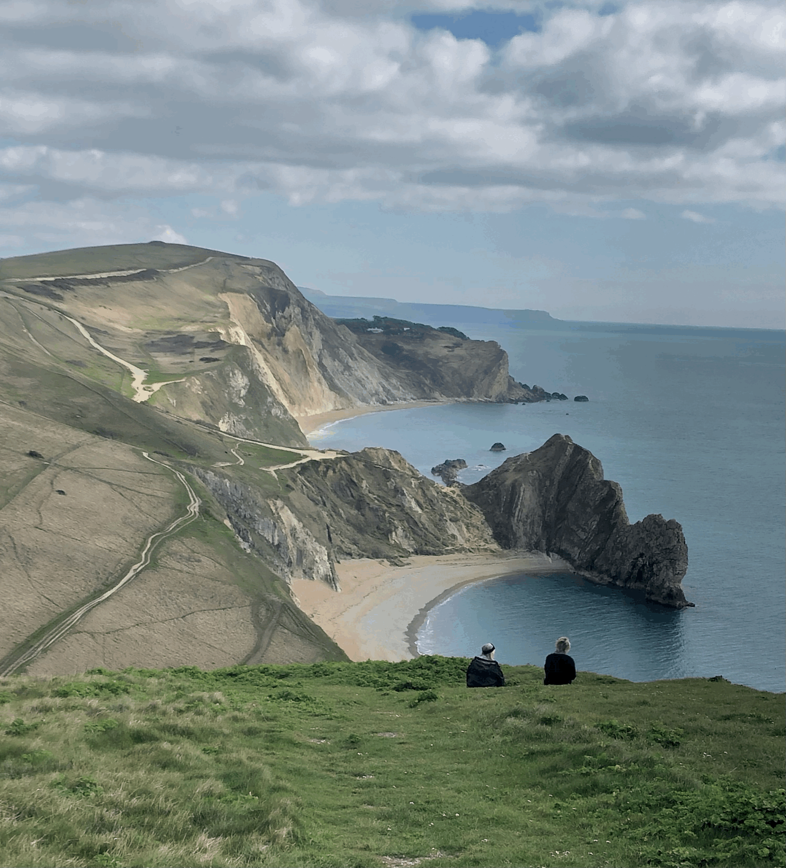
I now live in London but return to the Isle of Purbeck whenever I can. Several years ago, on a bright and windy autumn day, my sister and I walked the coast path from Swanage to Weymouth. I knew every bay along the route but had never joined them up before. The following summer a friend and I kayaked from Swanage to Ringstead then back up the coast to Chapman’s Pool. We camped below the big hot cliffs at Worbarrow Bay - surely one of the most beautiful coves in all of England. At the end of 2020, on the wettest day in UK records, my uncle and I circumnavigated the Isle of Purbeck on foot. It didn’t stop raining for the 12 hours we were walking, and we could barely see further than a few hundred yards, but it was life-affirming.

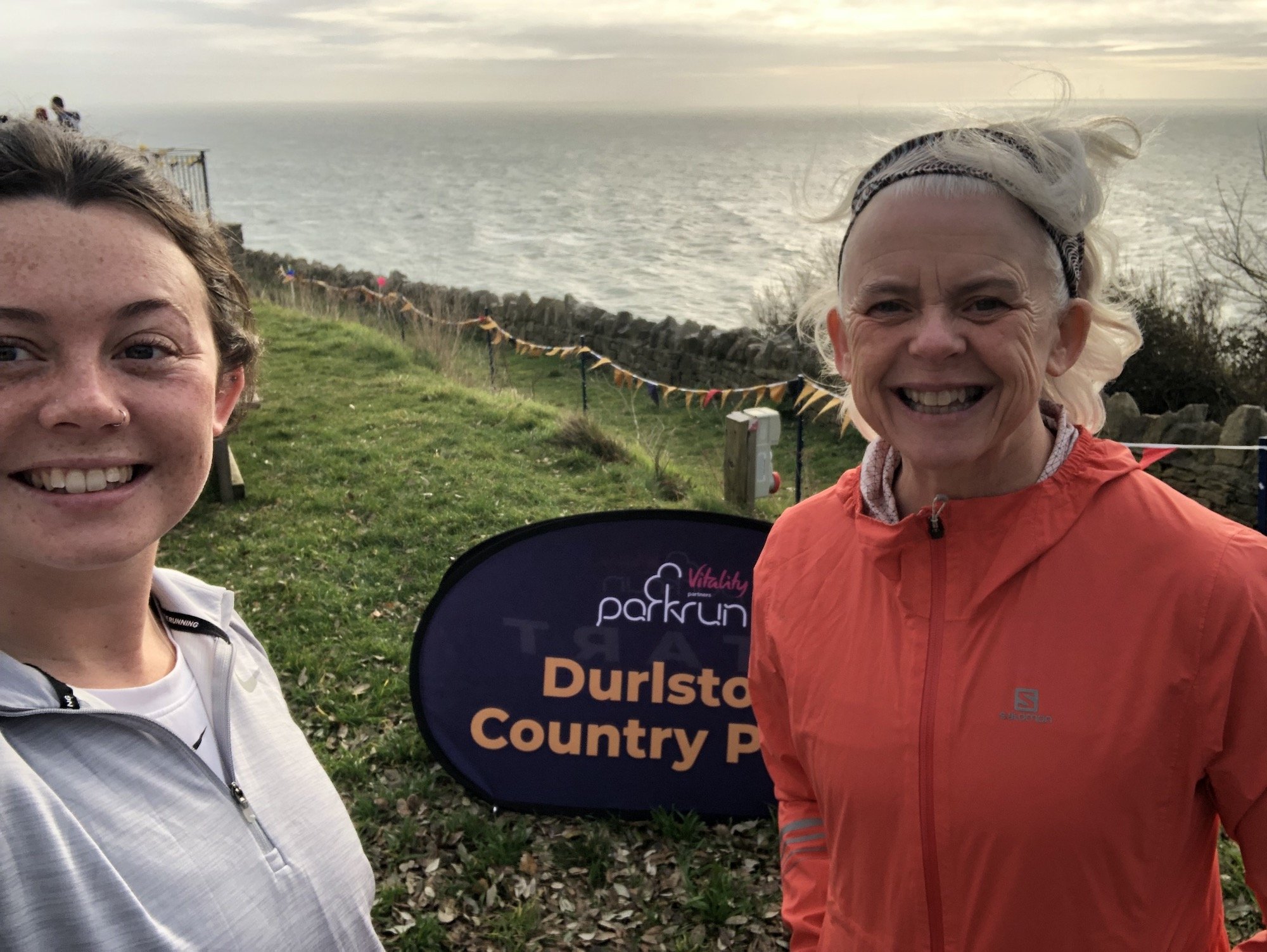
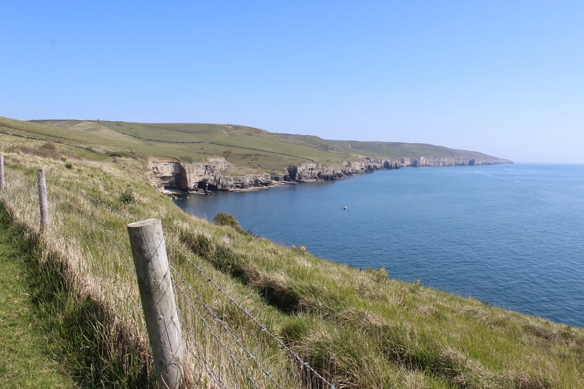
Seacombe is my favourite spot for a swim on the Isle of Purbeck and is part of the Seacombe and Winspit loop, which you can find below. As a family we’d often visit Seacombe on summer evenings when the sun was going down, and most people were heading home. We’d pack a picnic along with masks, snorkels and flippers and swim from the smooth ledges. The water at Seacombe is deep but there are a couple of boulders that rise to within a foot of the surface at high tide. Standing up on these and looking down to the green depths below was fun and slightly chilling. When I moved away to go to university my parents relocated to the top end of Langton Matravers. In my summer holidays I’d often rise early and run over the fields to Acton, then down the long winding valley to Seacombe, skylarks singing overhead. It is a magical place.
Get your boots on
Seacombe and Winspit loop
Park in the visitors’ car park in Worth Matravers, on the road from Kingston, near the Square and Compass pub. Worth is an attractive village of limestone cottages and farmhouses centred around a village green and duckpond. At the Square and Compass turn left up the Langton Road. Once you’ve passed the last of the houses, a footpath sign points you over a gate, on your right, and into a small field. Take this path, cross almost immediately the driveway to Abbascombe House, and then head over the next field aiming for the far corner. Continue along this path eventually passing Eastington Farm which is on your right-hand side. You are now on the Priest’s Way, the old route followed in medieval times when the Priests at Worth serviced a daughter church at Swanage.


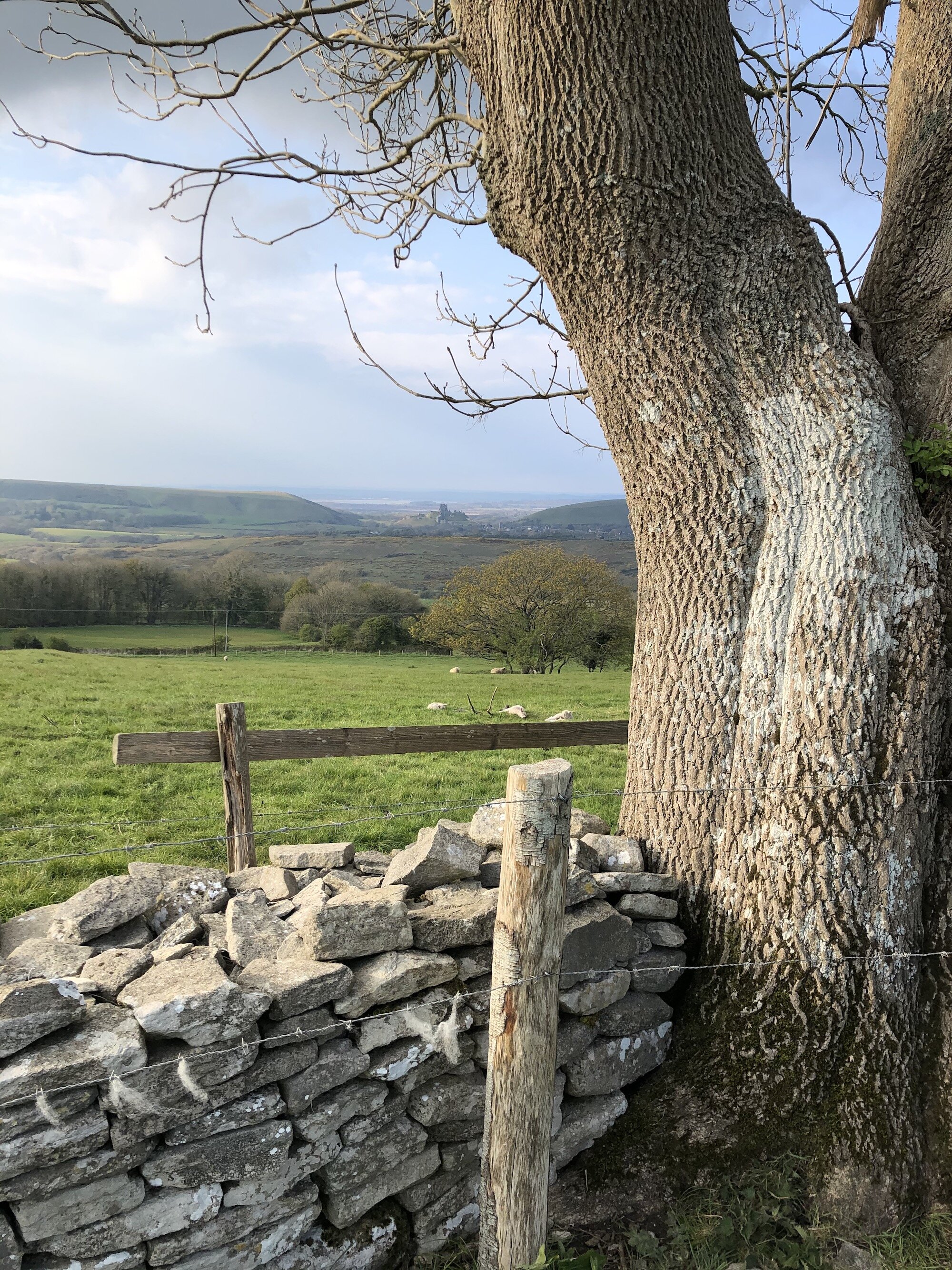
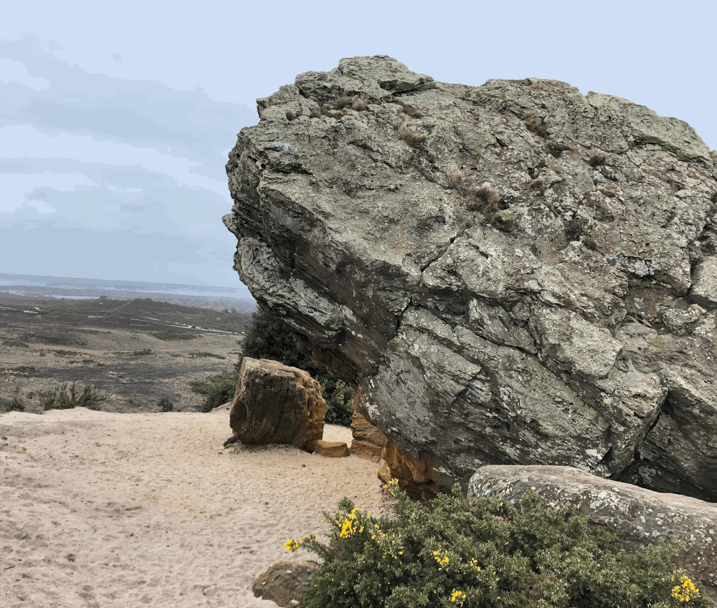
Take the first gate on your right after Eastington Farm (a National Trust stone conveniently confirms the spot) and pass through the field to a gateway at the end. You are now presented with glorious views across the Seacombe valley and out to sea. Take the footpath that winds down into the valley. From the path strip lynchets can be clearly seen on the flanks of the hillside to the right. These were field systems developed in the 13th century designed to level off the hillsides and make crop growing easier. After the gate at the bottom of the hill the valley narrows leading you down to the rocky cove at Seacombe. This is an ideal place for a picnic, or if the sea is calm, a swim off the sea-level platform.


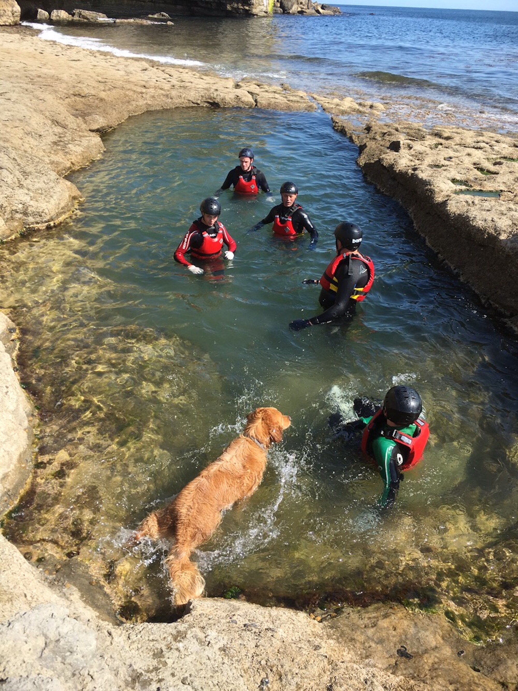
To head on to Winspit, return back up the path you came down for a few hundred yards. When the last of the quarried area is passed, turn left at a signpost up some steep steps to connect with the South-West coast path. At the top of the steps the path turns left, and quickly re-joins the cliff-side. As a teenager, friends and I would often spend a summer day rock scrambling between Seacombe and Windspit. This involved climbing along the lower ledges as much as we could, then swimming when the climbing became too difficult or too dangerous.
The ledges here were also the site of a horrific and well-documented wreck called The Halsewell. On a stormy night, in January 1786, an East India ship, bound from London to Bengal, encountered a storm off the Isle of Wight. Becoming unmanageable, she struck the rocks here and was dashed to pieces. Over one hundred people drowned, including the captain and his two daughters. King George III came to view the scene and the disaster was widely reported across the country.
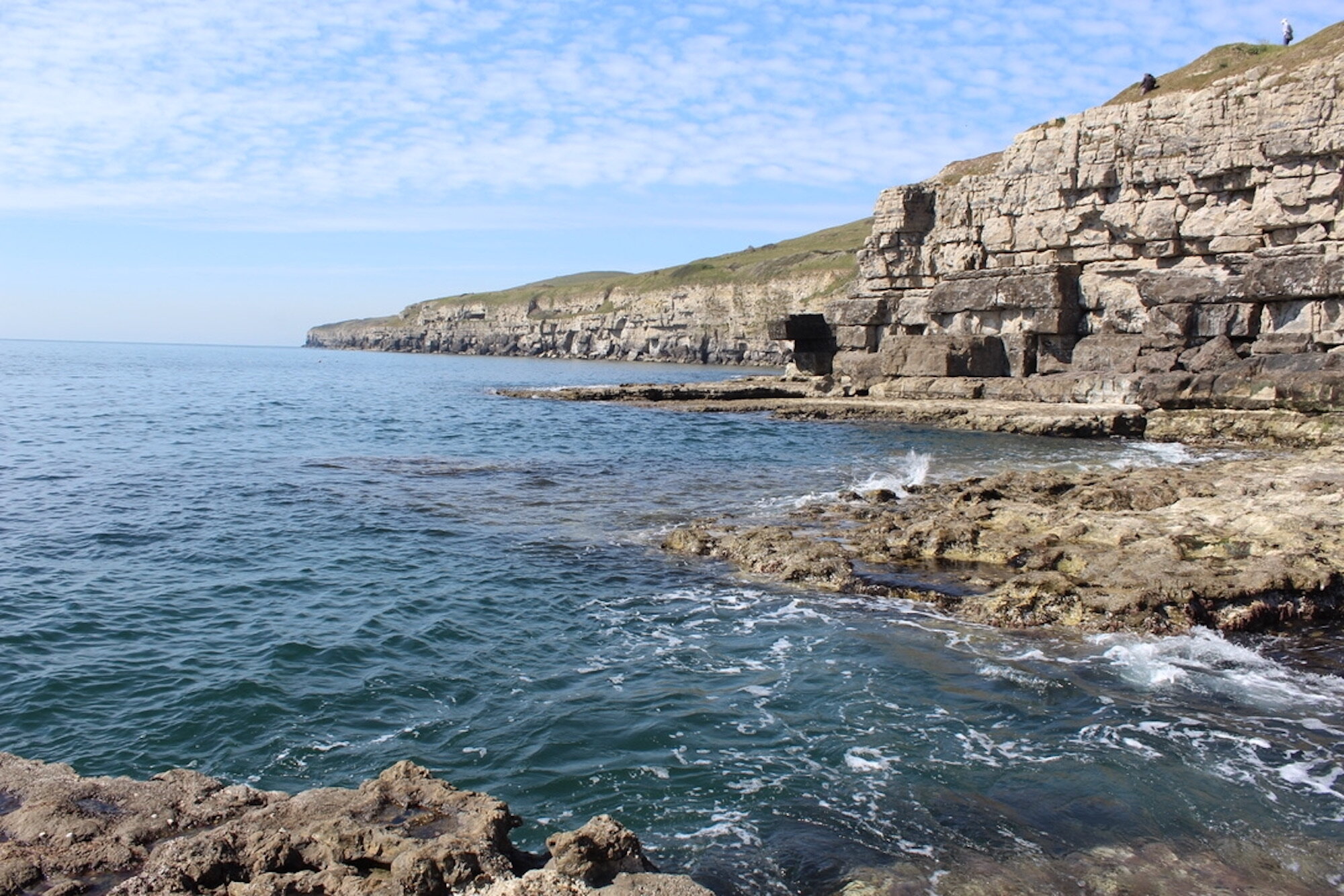
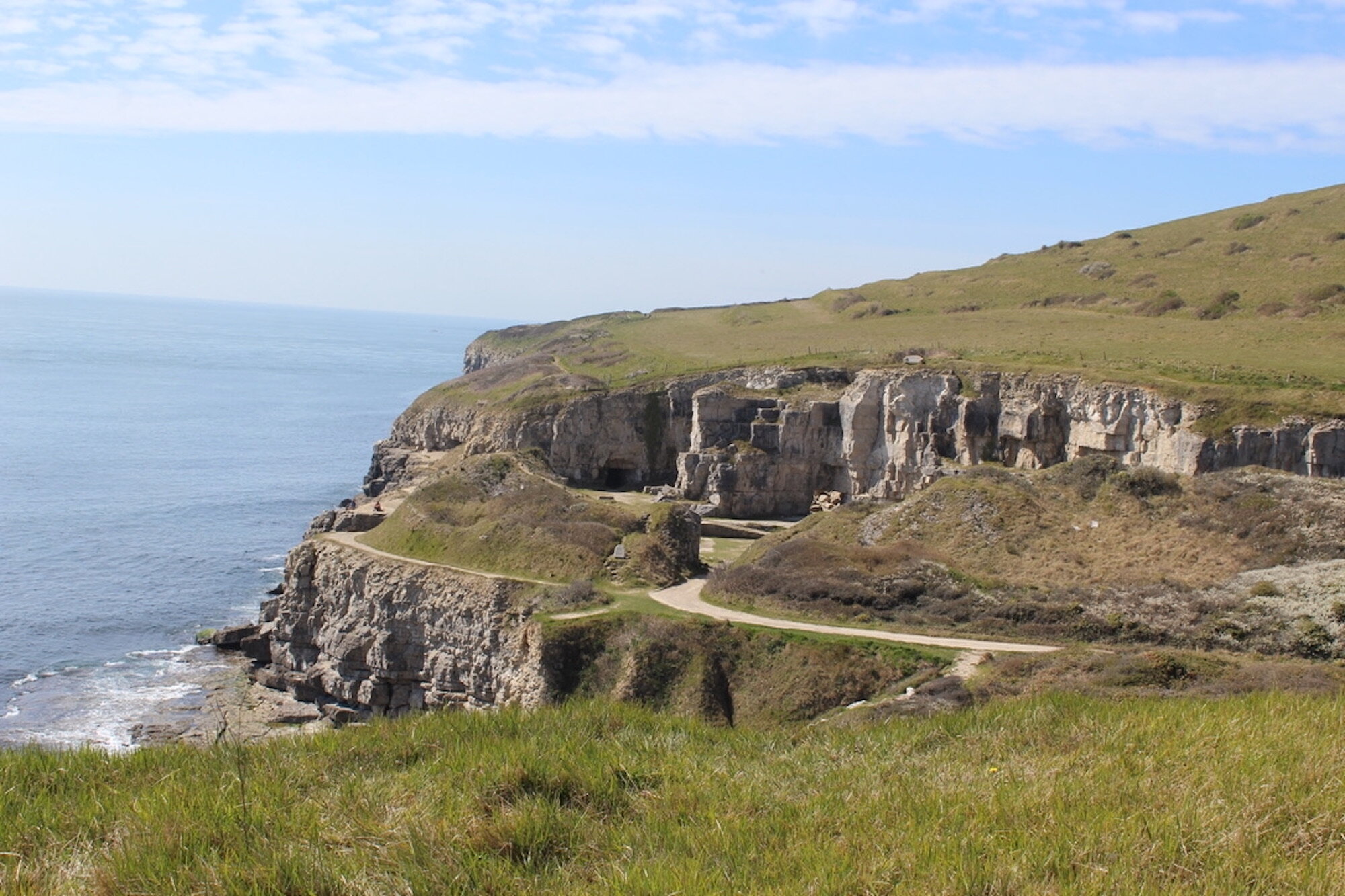
After ¾ of a mile, along the cliff top, descend the steps to Winspit where ivy, brambles and hawthorn line the path. Until the early 1900s stone from the coastal quarries here was winched into small boats which then had to be rowed around Anvil Point and Peveril into the relative safety of Swanage Bay. It was a hazardous exercise. Winspit is also an excellent place for swimming, with a lagoon to the left, rock ledges for jumping and several impressive limestone pillars.


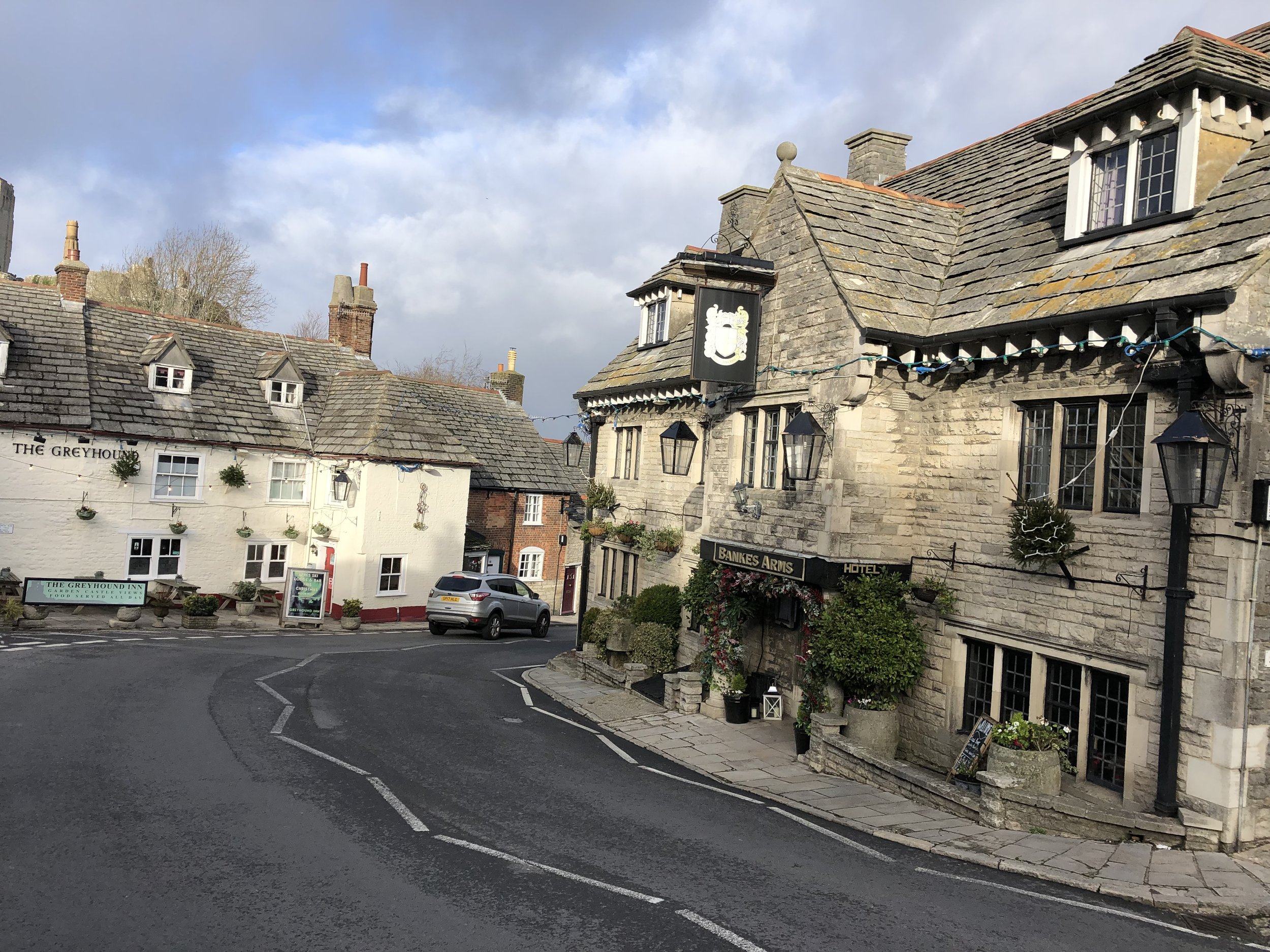
Follow a track away from the coast towards Worth Matravers rising steadily along the valley base. When you reach a fork, branch right on to a gravel path which leads into open pasture. Bear left, climbing across the hillside towards Worth Matravers. Exiting through a gate at the top, carry on along a path and then a short, narrow street into the village where you may wish to stop for an afternoon tea at Worth Tea and Supper Rooms and/or a drink or two and pasty at the Square and Compass pub. Originally built as two cottages the Square has been an alehouse for nearly 300 years. In the 1920s and 30s Worth was particularly fashionable amongst a set of artists and writers. The bohemian Welsh painter, draughter and etcher Augustus John, living in Poole, was a regular at the Square.


 3.6 miles
 1 hours 36 mins
 626 ft
 Fields and Paths
 Yes - woof!
OS Grid Ref: SY 974 778
Latitude: 50° 36' 0" N
Longitude: 2° 2' 16" W
Elevation: 458ft