St Aldhelm’s Chapel, Winspit and Worth

The chapel at St Aldhelm’s Head, on Dorset’s Jurassic Coast, is a special place for the O’Connors. In 1998 more than 100 wedding guests squeezed into this small, sacred space, when Nick and I married. Our three girls were christened here, when similar gatherings of friends and family, including a godmother arriving in fairy wings, welcomed new lives in an ancient setting. The chapel is Norman and its square shape indicates that it may not have originally been a place of worship, but a watchtower for Corfe Castle. Interestingly, the chapel is orientated towards the points of the compass; north, south, east and west. When our daughter Molly was nine years old, in 2005, she joined the rest of St George’s First School, Langton Matravers (the village next to Worth Matravers), in a pilgrimage to celebrate the 1300th anniversary of the consecration of the chapel. A new altar was consecrated by the the Archbishop of Canterbury, Rowan Williams, although she claims not to remember meeting him!


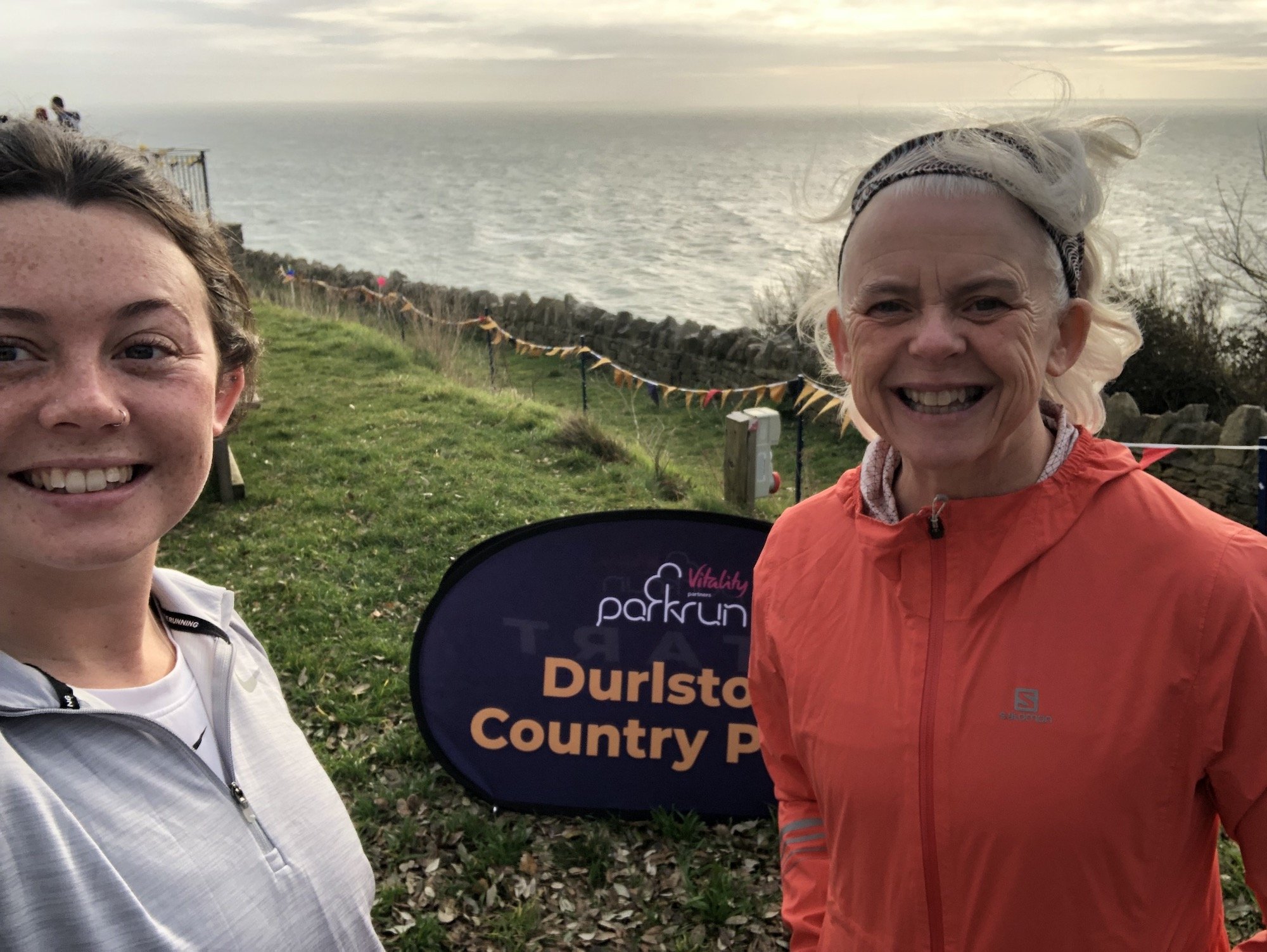
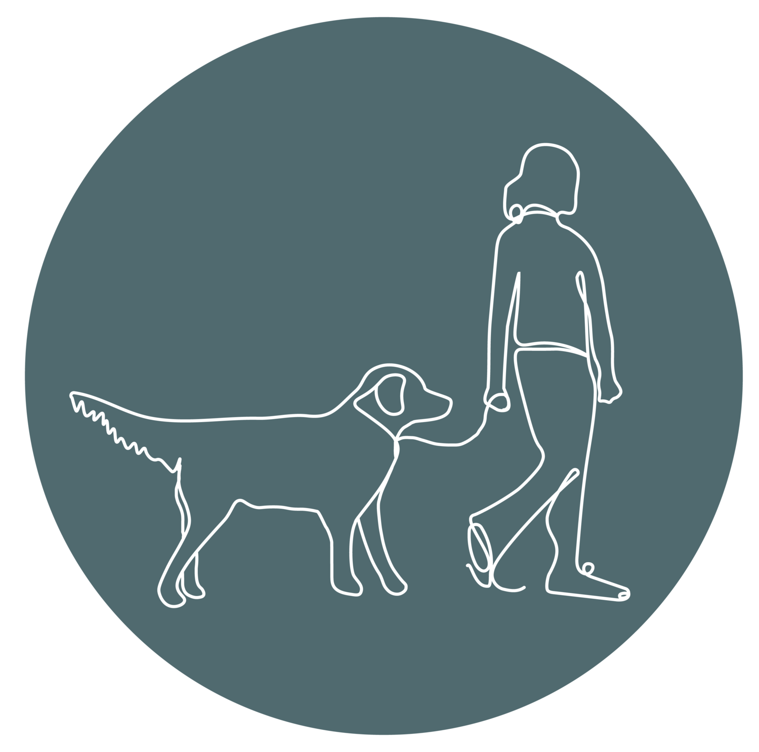
Today I am re-visiting a walk with my friend Louise, who accompanied Mr Shadow as his much loved dog walker, for almost 10 years. It was a rather windy day, with strong enough gusts to almost blow us over, but this meant the sea produced huge waves, breaking with dramatic effect on the coastal rocks below.
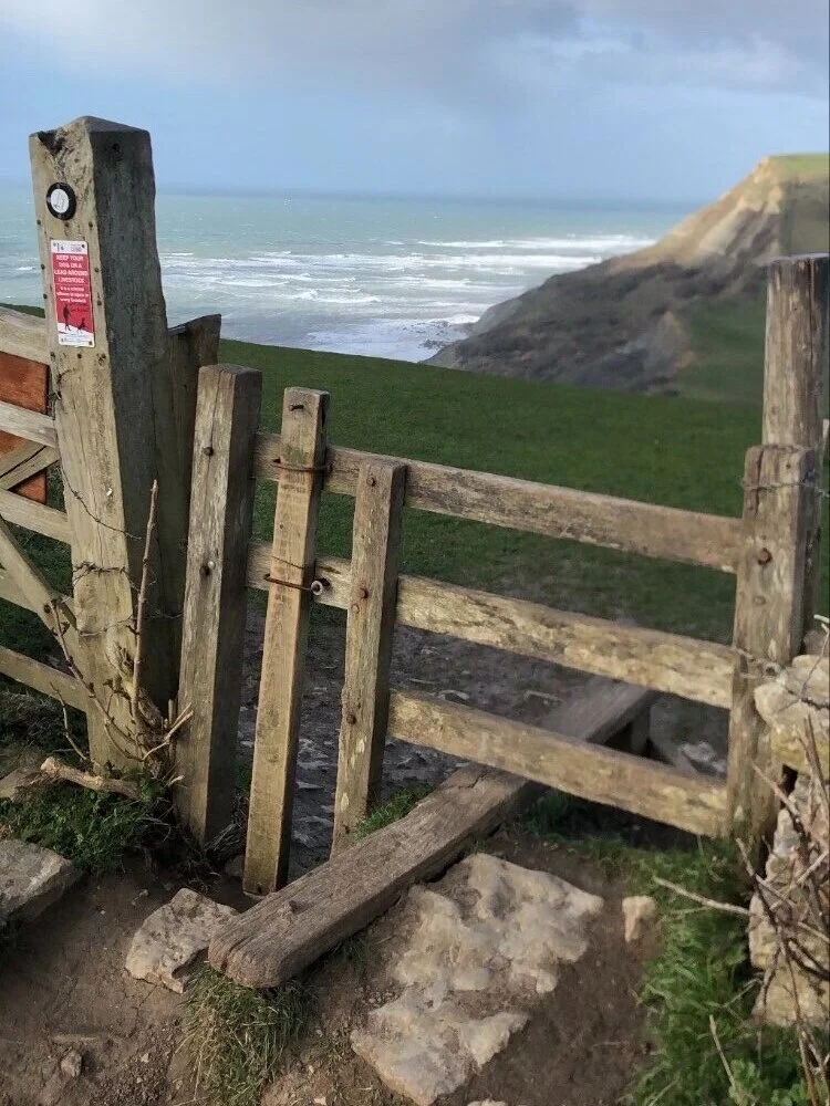
From Renscombe car park follow the path through two fields that head diagonally towards a stile in the hedge, on the far side of the second field. From the stile turn left, with Chapman’s Pool on your right. Head along the top of the cliff, perhaps pausing at the Royal Marine garden at Emmet’s Hill, where the stone inscription invites passers-by to:
‘rest awhile and reflect that we who are living can enjoy the beauty of the sea and countryside’.
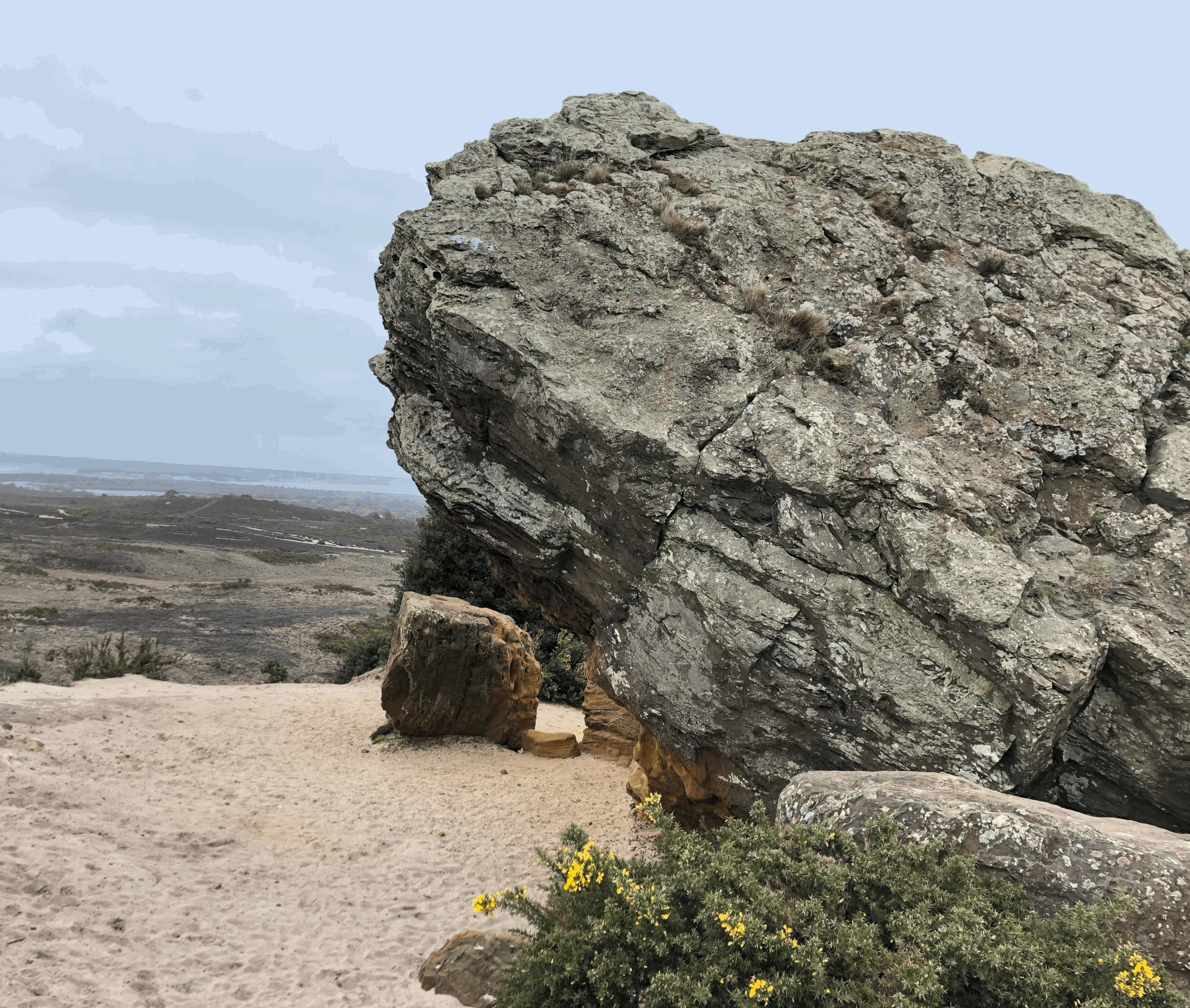
From the memorial garden brace yourself for the most challenging aspect of the walk as you take the steps, first down to Pier Bottom, then up, to find the Coastwatch look-out hut and the chapel. Walking between these two buildings, perhaps once both look-out posts, pick up the coast path on the cliff top, keeping the sea on your right.


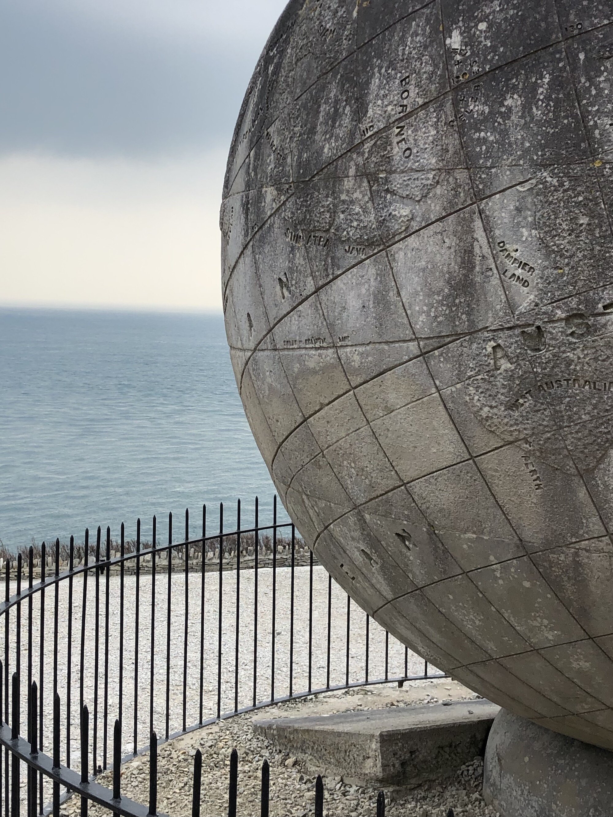
You’ll soon approach the radar sculpture, installed in 2001 and designed by local artist, Tony Viney. Depicting two radar dishes, the sculpture symbolises both ancient and modern approaches to warding off foes, as well as signifying the important role specialists from the Isle of Purbeck played, in developing radar technology in the early 1940s. First, it is a fire pit, representing a beacon that might once have been used to alert locals to the advances of the Spanish Armada. Second, it shows the importance of radar, a technology that helped defeat the enemy during World War Two.

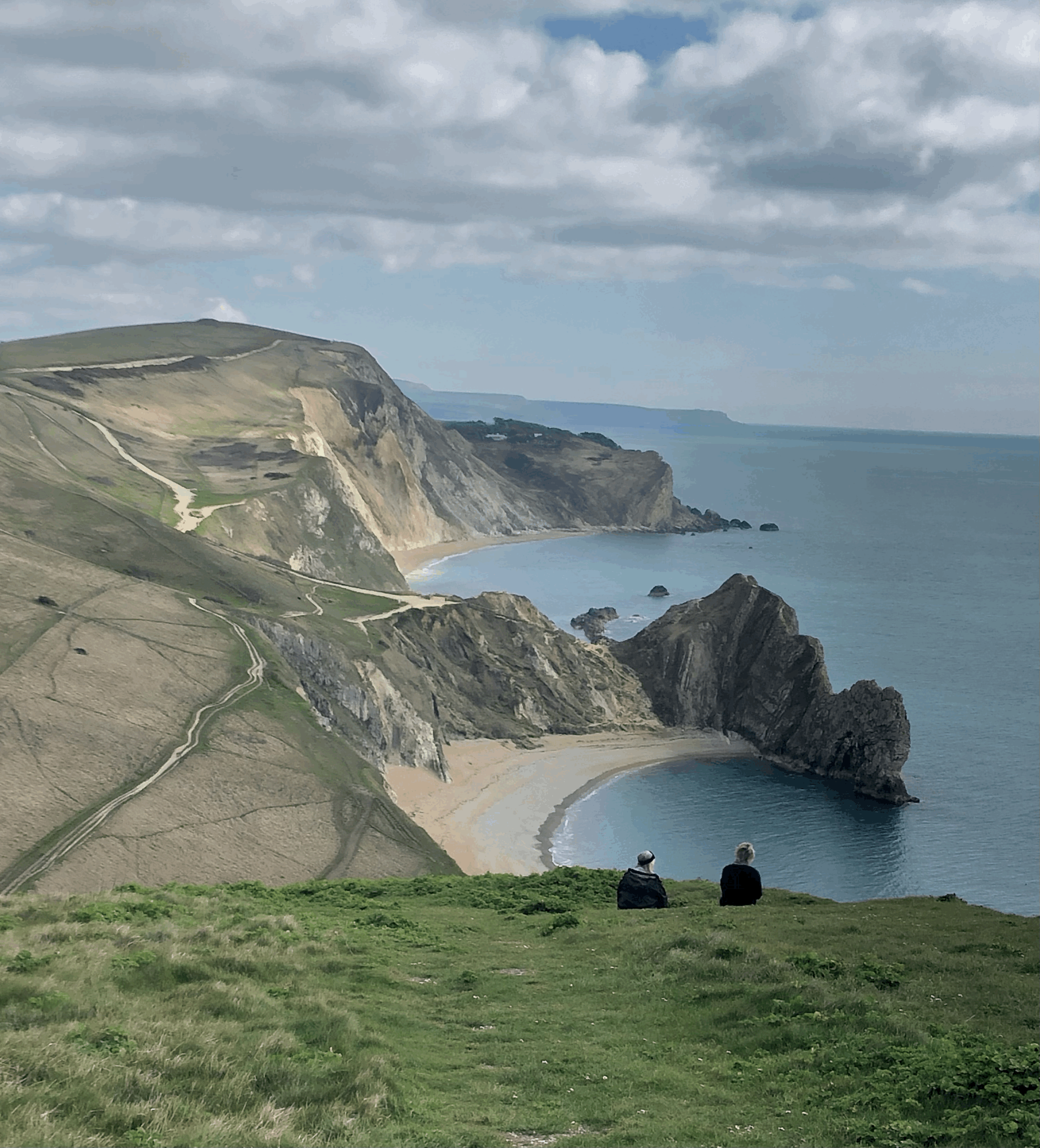
Following the South West Coast Path along the cliff, enjoy being bird-flight height and watch the seabirds duck and dive from the cliff and glide on the coastal winds and air currents. On a particularly windy day the waves cut across the tide to create massive breakers against the rock. The day Louise and I walked this stretch of coast we had a ‘wow’ moment with an enormous wave slanting in to crash on the rocks beneath us.
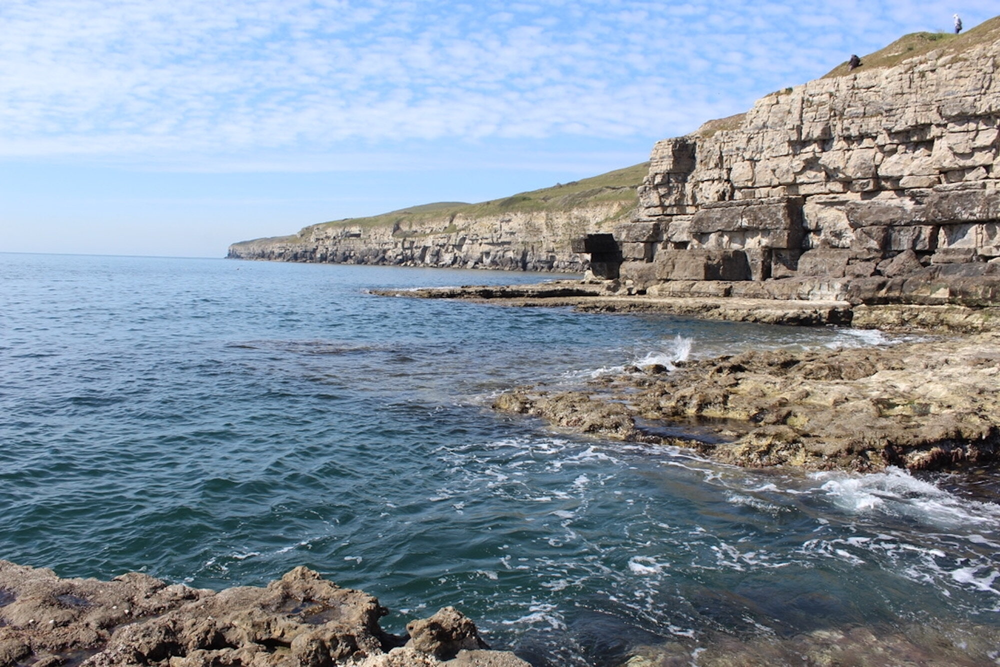
You’ll emerge at Winspit, a small cove, where wave-cut platforms provide the perfect spot for picnics, sun-bathing, rock-climbing and a chance to swim in the sea. Once used as a quarry, the stone originating from Winspit has been used in buildings far beyond Purbeck, including London. The quarry caves have been disused since 1940, when Winspit was used as a naval base. More recently the caves were open to the public, although for conservation of the local bat community and for reasons of safety, this has been restricted.


Having enjoyed your time at Winspit take the inland path up the hill towards the village of Worth Matravers. At the top, when you reach the road, turn right and then immediately left, through a small playing field and between two houses. Make your way into the field behind the house and follow the path to the quarry. Turn left to Hill Bottom. The path takes you through a woodland to the bottom of the valley, where you turn left, then left again, onto the track leading back up to Renscombe Farm and the car park.
Reserve a little energy for this last climb as the track is steep for the weary walker!


 4.75 miles
 2 hours 05 mins
 934 ft
 Fields and Paths
 Yes - woof!
OS Grid Ref: SY 964 773
Latitude: 50° 35' 46" N
Longitude: 2° 3' 7" W
Elevation: 411ft