Dancing Ledge from Spyway
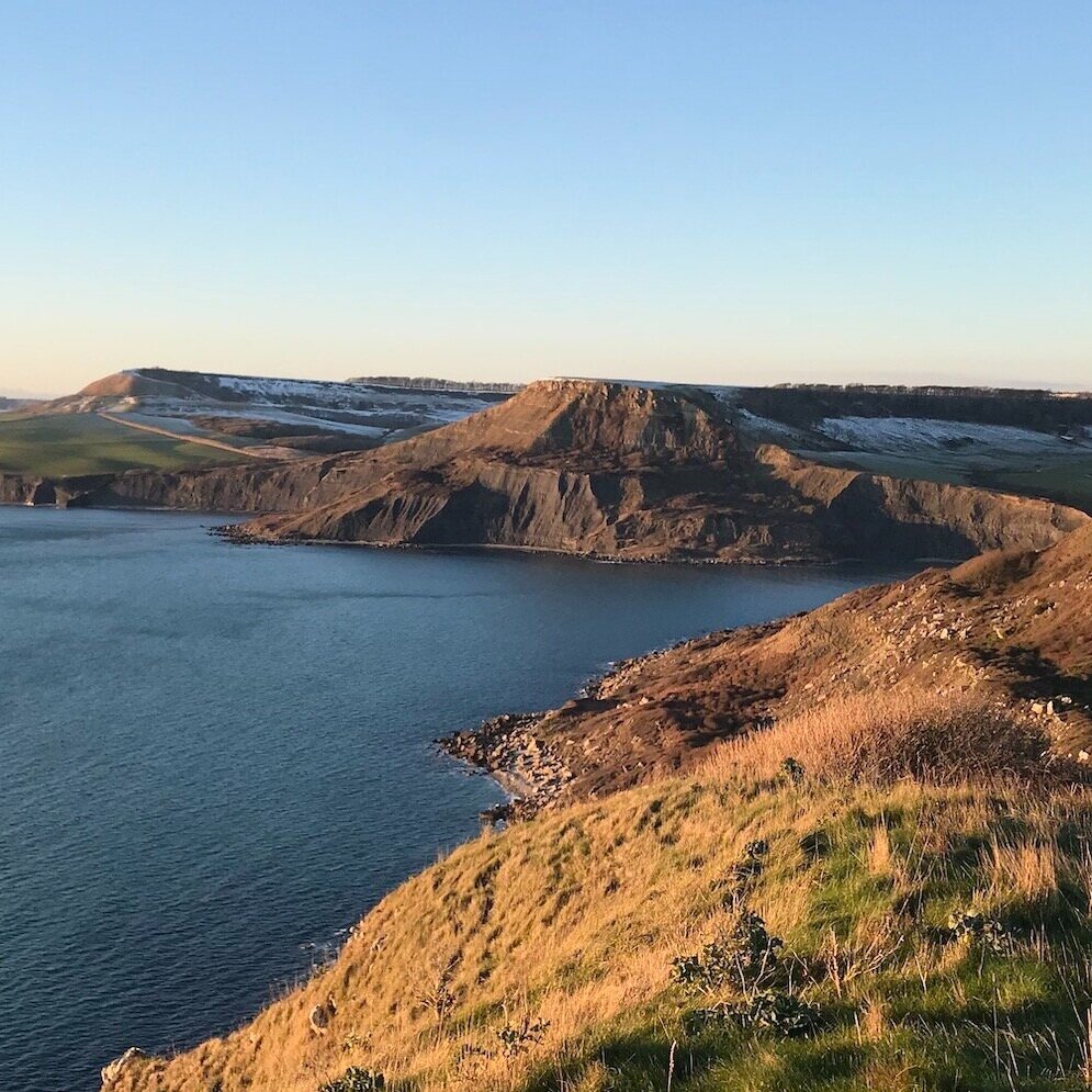
Any Jurassic Coast walk that involves dancing is bound to promise great things! The route down to Dancing Ledge, on the southern coast of the Isle of Purbeck, is indeed a joy - for its wave-cut platform, panoramic coastal views and a swimming pool hewn from the rocks.
Before we get too carried away, let’s establish where the start of this walk is! Park at Spyway Barn National Trust car park. Head through the gate at the top of the car park and walk up a dirt track on the left hand edge of a field. Continue until you cross another track, which is the Priest’s Way, a path that follows the route of medieval priests who travelled between churches in Swanage and Worth Matravers.
Make your way diagonally through the next field, towards Spyway Barn, walking through another gate and into the fields beyond.
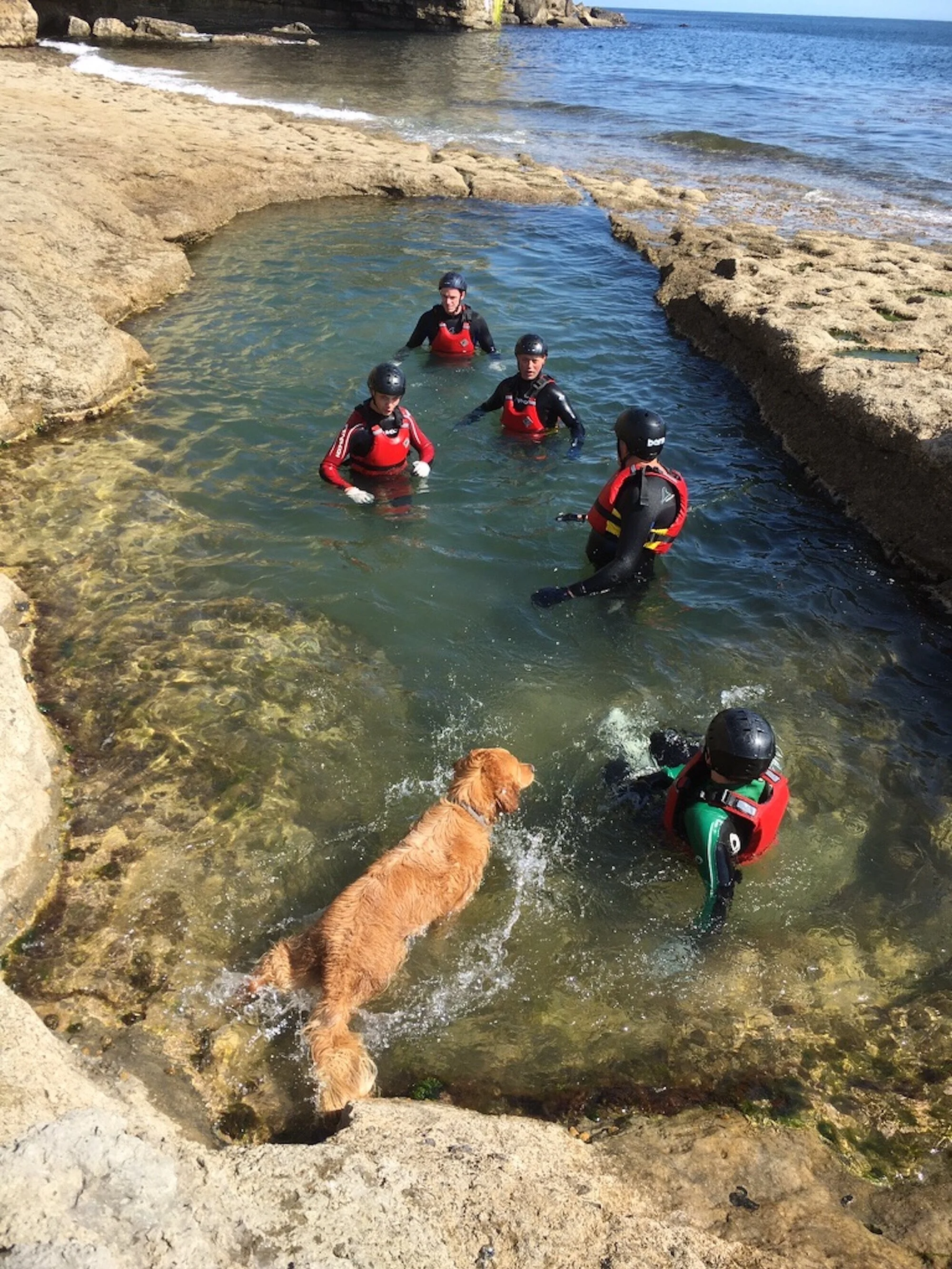
As you can see, Shadow loved his walks and swims at Dancing Ledge - and even enjoyed a spot of coasteering!

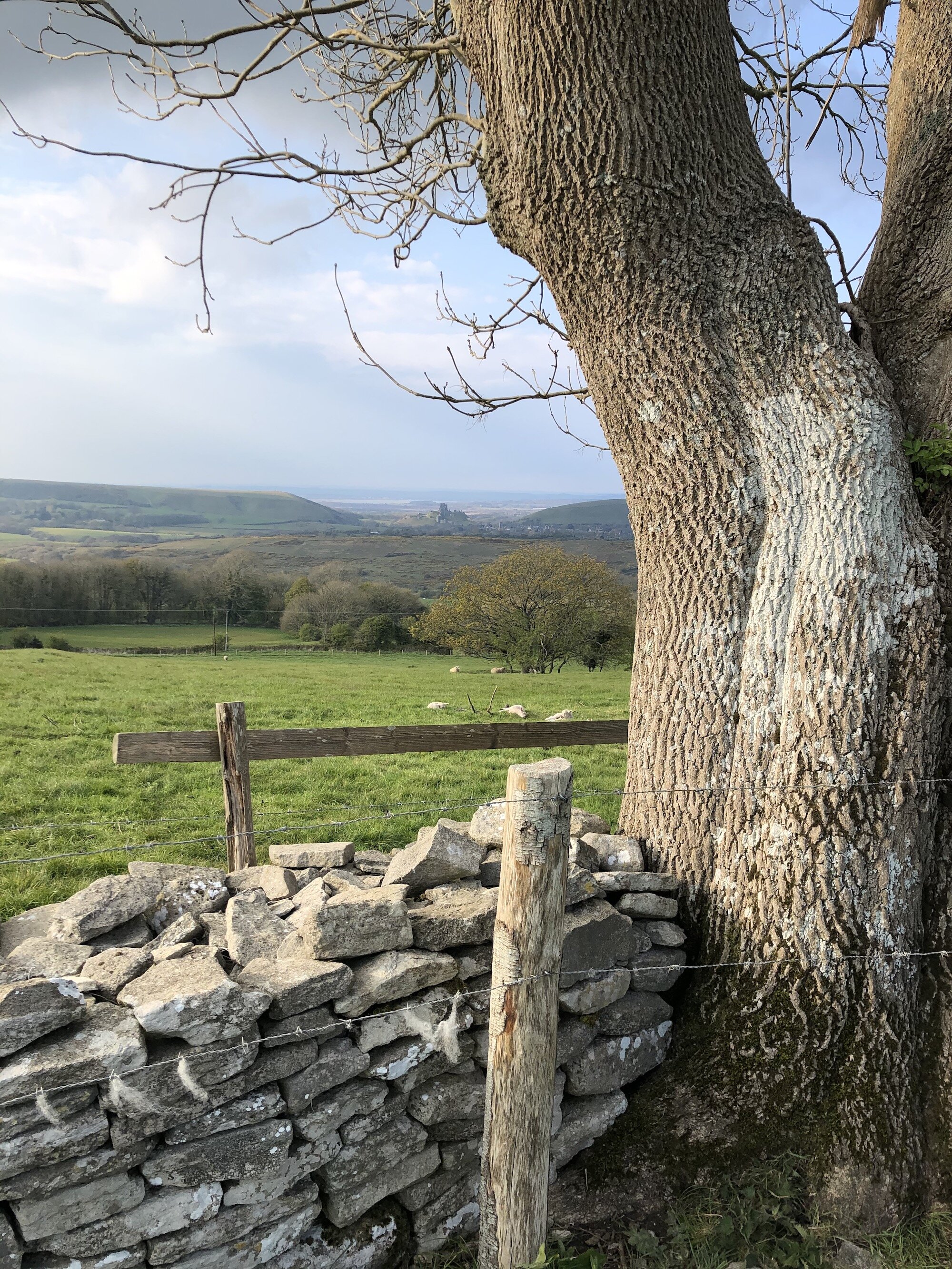
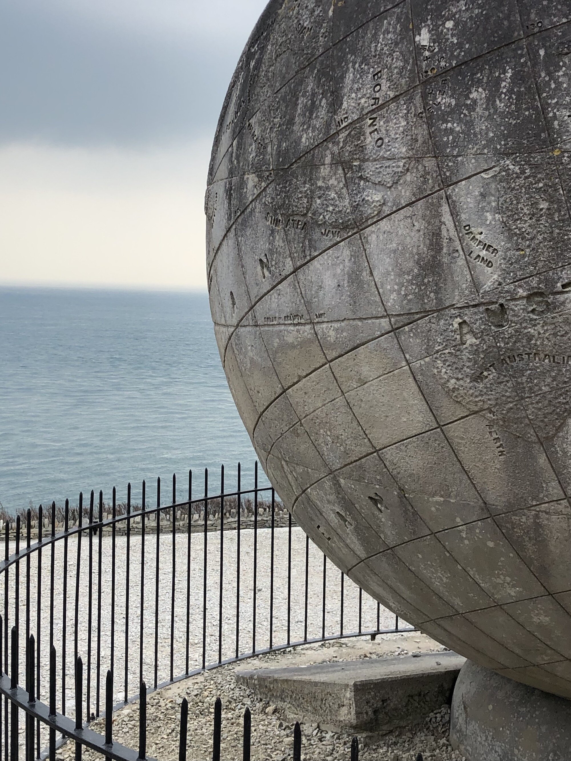
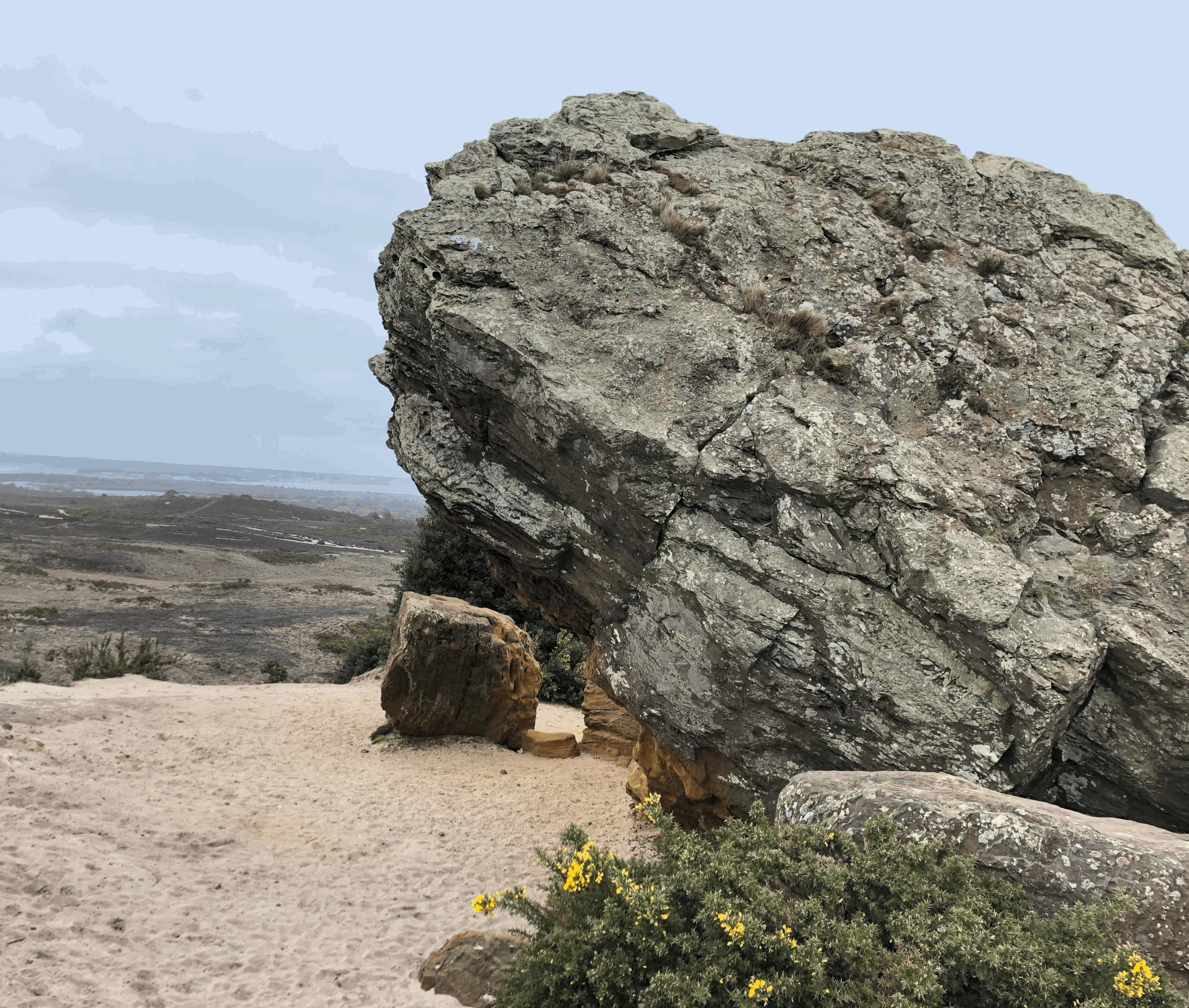
The dry stone walls, made from Purbeck limestone, mark out the borders between fields that include numerous bridleways and footpaths on this part of the Purbeck landscape. Once you have passed the barn, keep going through the next two fields to a gate, where there is an interesting carving in the wall of a cow’s head! Beyond is a glorious panorama of the Purbeck coast, from Durlston Head in the east to Winspit in the west. Pause for a moment to take it all in on the huge stone seat, before descending to the clifftop.


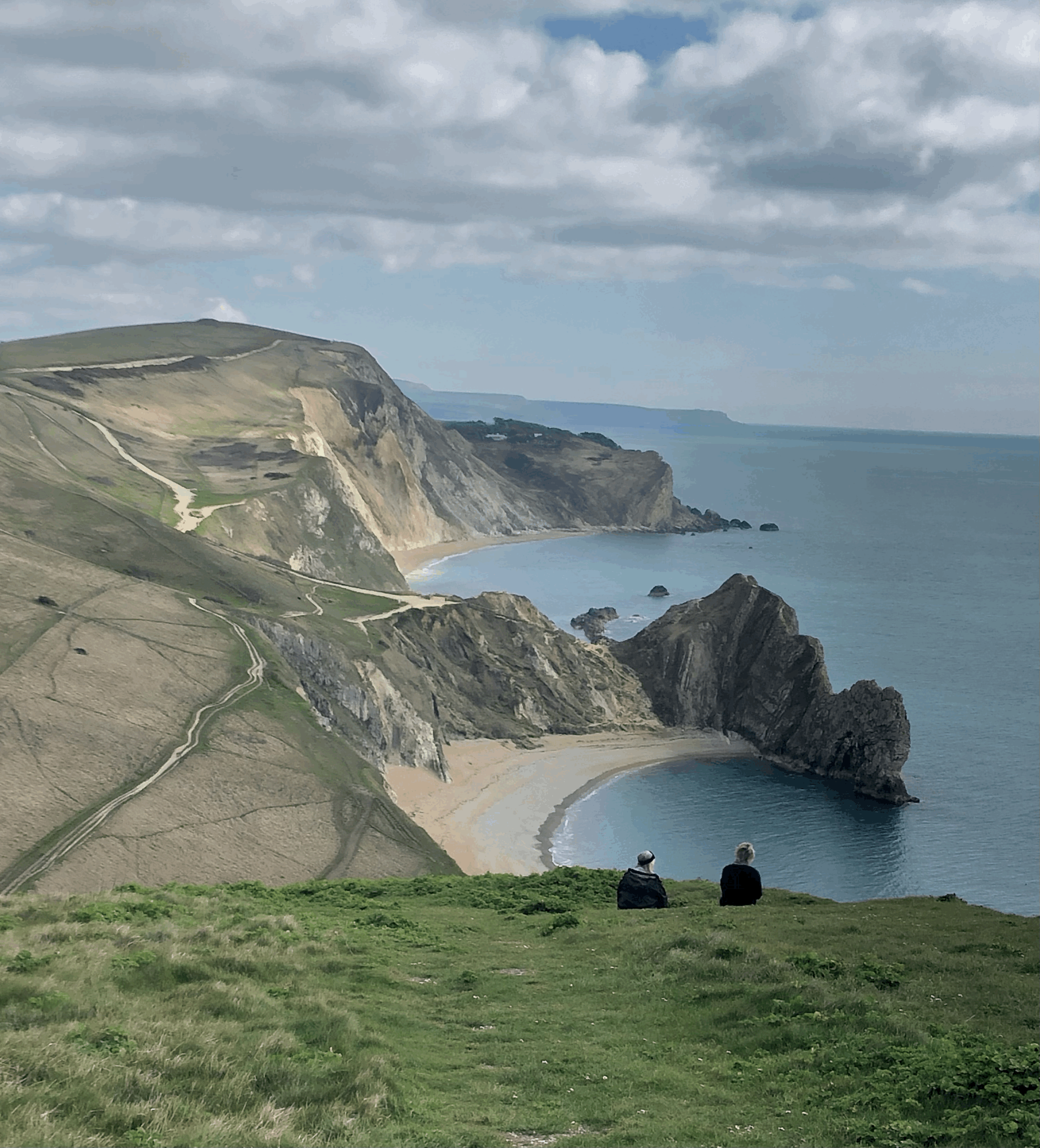
From the stone seat, slightly to the right, pick out the route down the open field to the top of the cliff, where you can climb over a stile and continue clambering down the rocks to the wave-cut platform. The descent to Dancing Ledge is steep, both through the field and on the rocks, so take care as you go. There are often cattle grazing in these fields, so dogs must be on a lead, especially as you approach the cliff-edge, where there is a fence, but small dogs or excitable puppies might just squeeze through any gaps.

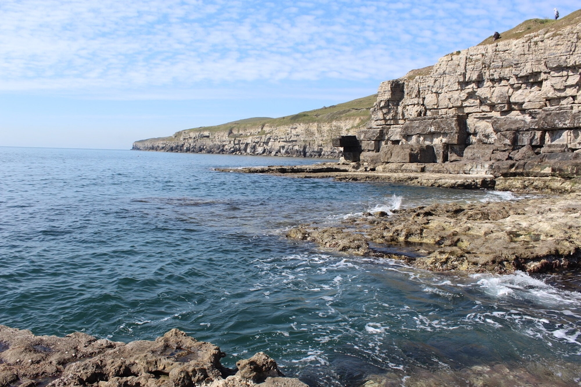
Depending on how agile you are there is the option to climb right down to the wave-cut platform and spend some time exploring the ledge and the pool. Dancing Ledge is said to get its name from the waves ‘dancing’ over the edge of the rocks, or possibly because the flatness of the platform resembles a dance floor. Others have suggested that the name comes from ‘dark spring ledge’ with reference to a nearby spring that sprinkles water onto the rocks. Either way it is a great spot for a picnic and a dip in the pool, which was quarried out years ago for the use of pupils and staff at the long-since closed Durnford prep school.


Years ago there was a sea quarry at Dancing Ledge, where the rocks would have been moved by sea, as there is no road access. Later the ledge became handy for smugglers and more recently for leisure pursuits such as climbing and coasteering. However, you might find that exiting the ledge is a little harder than the scramble down, and you may well need a helpful shove to get you up and over the large rock-face and back up onto the footpath home!
Once back in the field take a left turn and walk up the hill, bearing left onto the footpath, which heads through some bushes to the gate at the top. turn left through the gate then immediately right, through another field, along a dry stone wall. You will reach another gate and turn right, back onto the Priests Way to the field where you started the walk and Spyway Barn car park. Enjoy the views over to Swanage Bay as you make your way back.
Although a short walk, I’m sure you’ll agree that Dancing Ledge offers a great day out. If it’s a lovely day, pack a picnic and your swimming cossie, then relax in the pool whilst watching the waves dance across the rocks.


 2.1 miles
 55 mins
 482 ft
 Fields and path
 Yes - woof!
OS Grid Ref: SY 997 782
Latitude: 50° 36' 14" N
Longitude: 2° 0' 16" W
Elevation: 326ft